Distance to Hulbert, Oklahoma

Calculating Your Route
Just a moment while we process your request...
Location Information
-
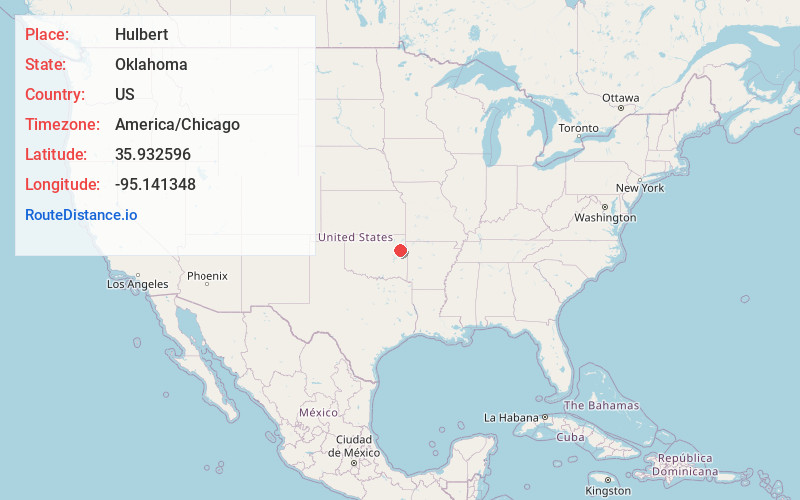
Full AddressHulbert, OK 74441
-
Coordinates35.9325964, -95.1413479
-
LocationHulbert , Oklahoma , US
-
TimezoneAmerica/Chicago
-
Current Local Time7:01:12 PM America/ChicagoThursday, June 19, 2025
-
Page Views0
About Hulbert
Hulbert is a town in Cherokee County, Oklahoma, United States, named after Ben H. Hulbert, a prominent Cherokee man. The population was 483 at the 2020 census, previously it was 590 in 2010. Our Lady of the Annunciation of Clear Creek Monastery is a Benedictine monastery located in Hulbert.


Nearby Places
Found 10 places within 50 miles

Shady Grove
2.7 mi
4.3 km
Shady Grove, OK
Get directions

Lost City
3.8 mi
6.1 km
Lost City, OK 74441
Get directions

Woodall
7.9 mi
12.7 km
Woodall, OK
Get directions

Tahlequah
9.7 mi
15.6 km
Tahlequah, OK 74464
Get directions
Grandview
9.7 mi
15.6 km
Grandview, OK 74464
Get directions
Toppers
9.8 mi
15.8 km
Toppers, OK 74467
Get directions

Peggs
10.5 mi
16.9 km
Peggs, OK
Get directions

Zeb
10.6 mi
17.1 km
Zeb, OK 74464
Get directions

Fort Gibson
11.2 mi
18.0 km
Fort Gibson, OK 74434
Get directions
Park Hill
11.3 mi
18.2 km
Park Hill, OK
Get directions
Location Links
Local Weather
Weather Information
Coming soon!
Location Map
Static map view of Hulbert, Oklahoma
Browse Places by Distance
Places within specific distances from Hulbert
Short Distances
Long Distances
Click any distance to see all places within that range from Hulbert. Distances shown in miles (1 mile ≈ 1.61 kilometers).