Distance to Shady Grove, Oklahoma

Calculating Your Route
Just a moment while we process your request...
Location Information
-
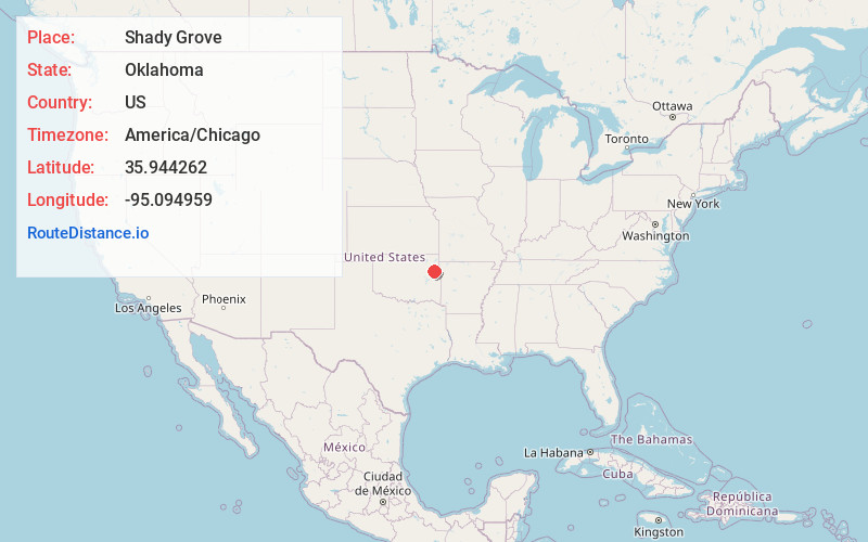
Full AddressShady Grove, OK
-
Coordinates35.9442619, -95.0949585
-
LocationShady Grove , Oklahoma , US
-
TimezoneAmerica/Chicago
-
Current Local Time2:40:17 AM America/ChicagoWednesday, June 18, 2025
-
Page Views0
About Shady Grove
Shady Grove is an unincorporated community and census-designated place in Cherokee County, Oklahoma, United States. The population was 556 at the 2010 census. This is not to be confused with the similarly-named Shady Grove in McIntosh County, or the Shady Grove in Pawnee County.
Nearby Places
Found 10 places within 50 miles

Lost City
3.8 mi
6.1 km
Lost City, OK 74441
Get directions

Grandview
7.0 mi
11.3 km
Grandview, OK 74464
Get directions

Tahlequah
7.3 mi
11.7 km
Tahlequah, OK 74464
Get directions

Woodall
7.7 mi
12.4 km
Woodall, OK
Get directions

Peggs
9.5 mi
15.3 km
Peggs, OK
Get directions
Park Hill
9.5 mi
15.3 km
Park Hill, OK
Get directions

Zeb
10.4 mi
16.7 km
Zeb, OK 74464
Get directions

Briggs
11.1 mi
17.9 km
Briggs, OK 74464
Get directions
Toppers
12.1 mi
19.5 km
Toppers, OK 74467
Get directions
Keys
12.4 mi
20.0 km
Keys, OK
Get directions
Location Links
Local Weather
Weather Information
Coming soon!
Location Map
Static map view of Shady Grove, Oklahoma
Browse Places by Distance
Places within specific distances from Shady Grove
Short Distances
Long Distances
Click any distance to see all places within that range from Shady Grove. Distances shown in miles (1 mile ≈ 1.61 kilometers).