Distance to Ellison, Arkansas

Calculating Your Route
Just a moment while we process your request...
Location Information
-
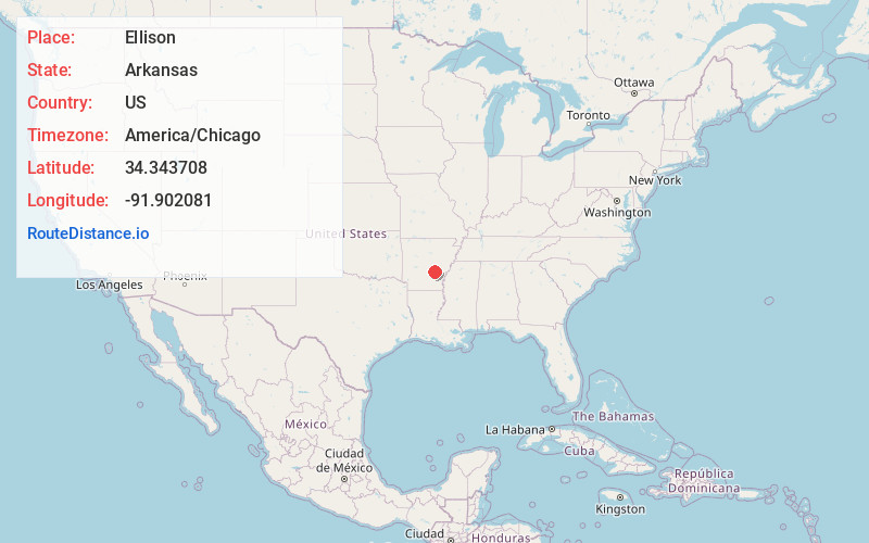
Full AddressEllison, AR 72152
-
Coordinates34.3437078, -91.9020809
-
LocationArkansas , US
-
TimezoneAmerica/Chicago
-
Current Local Time11:13:36 AM America/ChicagoSunday, May 25, 2025
-
Page Views0
Nearby Places
Found 10 places within 50 miles

Altheimer
3.6 mi
5.8 km
Altheimer, AR 72004
Get directions
Newtown
3.6 mi
5.8 km
Newtown, Altheimer, AR 72004
Get directions
Sherrill
4.0 mi
6.4 km
Sherrill, AR 72152
Get directions
Wabbaseka
6.1 mi
9.8 km
Wabbaseka, AR
Get directions
Lake Dick
7.3 mi
11.7 km
Lake Dick, AR 72004
Get directions

Tucker
7.6 mi
12.2 km
Tucker, AR
Get directions
Ferda
8.5 mi
13.7 km
Ferda, AR 72046
Get directions

Pine Bluff
10.0 mi
16.1 km
Pine Bluff, AR
Get directions
Cottondale
11.5 mi
18.5 km
Cottondale, AR 71601
Get directions
Henslee Heights
11.8 mi
19.0 km
Henslee Heights, White Hall, AR 71602
Get directions
Location Links
Local Weather
Weather Information
Coming soon!
Location Map
Static map view of Ellison, Arkansas
Browse Places by Distance
Places within specific distances from Ellison
Short Distances
Long Distances
Click any distance to see all places within that range from Ellison. Distances shown in miles (1 mile ≈ 1.61 kilometers).