Distance to Elmer, Oklahoma

Calculating Your Route
Just a moment while we process your request...
Location Information
-
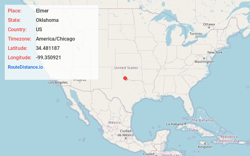
Full AddressElmer, OK 73539
-
Coordinates34.4811873, -99.3509205
-
LocationElmer , Oklahoma , US
-
TimezoneAmerica/Chicago
-
Current Local Time4:20:23 AM America/ChicagoWednesday, June 18, 2025
-
Page Views0
About Elmer
Elmer is a town in Jackson County, Oklahoma, United States. The population was 96 at the 2010 census.


Nearby Places
Found 10 places within 50 miles

Olustee
6.2 mi
10.0 km
Olustee, OK
Get directions

Altus
10.9 mi
17.5 km
Altus, OK
Get directions

Tipton
12.1 mi
19.5 km
Tipton, OK
Get directions

Headrick
15.8 mi
25.4 km
Headrick, OK 73549
Get directions

Eldorado
16.9 mi
27.2 km
Eldorado, OK 73537
Get directions

Martha
17.0 mi
27.4 km
Martha, OK 73556
Get directions

Duke
17.7 mi
28.5 km
Duke, OK 73532
Get directions

Chillicothe
18.2 mi
29.3 km
Chillicothe, TX 79225
Get directions

Frederick
19.9 mi
32.0 km
Frederick, OK 73542
Get directions

Blair
20.6 mi
33.2 km
Blair, OK 73526
Get directions
Location Links
Local Weather
Weather Information
Coming soon!
Location Map
Static map view of Elmer, Oklahoma
Browse Places by Distance
Places within specific distances from Elmer
Short Distances
Long Distances
Click any distance to see all places within that range from Elmer. Distances shown in miles (1 mile ≈ 1.61 kilometers).