Distance to Eltham, Virginia

Calculating Your Route
Just a moment while we process your request...
Location Information
-
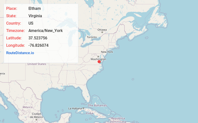
Full AddressEltham, VA 23181
-
Coordinates37.5237559, -76.8260735
-
LocationEltham , Virginia , US
-
TimezoneAmerica/New_York
-
Current Local Time8:20:03 AM America/New_YorkSaturday, May 24, 2025
-
Page Views0
About Eltham
Eltham is a small unincorporated community in New Kent County, Virginia, United States. Located along state routes 30, 33, and 249 in modern times, it is slightly west of the town of West Point. It was named for the Eltham slave plantation, across from West Point on the nearby Pamunkey River.
Nearby Places
Found 10 places within 50 miles

West Point
1.7 mi
2.7 km
West Point, VA 23181
Get directions

Romancoke
3.7 mi
6.0 km
Romancoke, VA 23181
Get directions
Holly Forks
4.5 mi
7.2 km
Holly Forks, VA 23011
Get directions
Barhamsville
4.8 mi
7.7 km
Barhamsville, VA 23011
Get directions
Little Plymouth
7.4 mi
11.9 km
Little Plymouth, VA 23110
Get directions
Mt Folly
7.8 mi
12.6 km
Mt Folly, Virginia 23188
Get directions

Lanexa
8.0 mi
12.9 km
Lanexa, VA 23089
Get directions
Roane
8.4 mi
13.5 km
Roane, VA 23156
Get directions
New Kent
8.7 mi
14.0 km
New Kent, VA 23124
Get directions
Plain View
8.9 mi
14.3 km
Plain View, VA 23156
Get directions
Location Links
Local Weather
Weather Information
Coming soon!
Location Map
Static map view of Eltham, Virginia
Browse Places by Distance
Places within specific distances from Eltham
Short Distances
Long Distances
Click any distance to see all places within that range from Eltham. Distances shown in miles (1 mile ≈ 1.61 kilometers).