Distance to Empire Prairie, Missouri

Calculating Your Route
Just a moment while we process your request...
Location Information
-
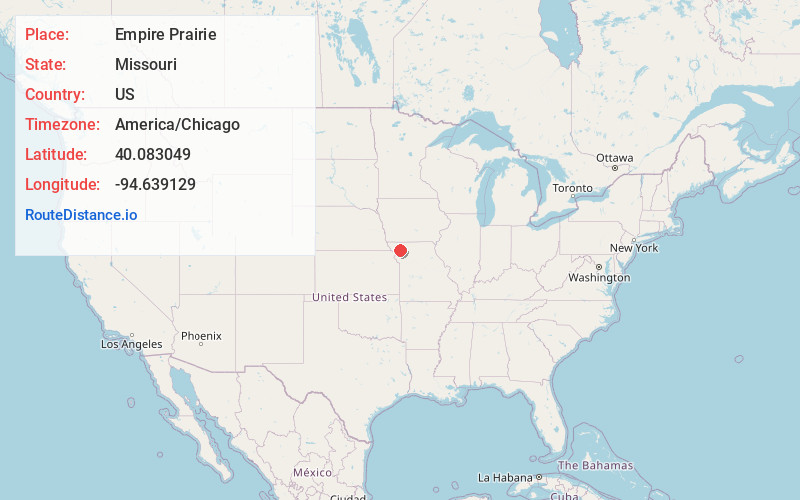
Full AddressEmpire Prairie, Platte Township, MO 64480
-
Coordinates40.0830493, -94.6391292
-
LocationPlatte Township , Missouri , US
-
TimezoneAmerica/Chicago
-
Current Local Time1:44:40 PM America/ChicagoTuesday, June 24, 2025
-
Page Views0
Nearby Places
Found 10 places within 50 miles

Flag Springs
4.3 mi
6.9 km
Flag Springs, Empire Township, MO 64480
Get directions
Whitesville
4.5 mi
7.2 km
Whitesville, MO 64480
Get directions
Cawood
6.2 mi
10.0 km
Cawood, Platte Township, MO 64427
Get directions
King City
6.5 mi
10.5 km
King City, MO 64463
Get directions
Rea
6.8 mi
10.9 km
Rea, MO
Get directions
Union Star
7.4 mi
11.9 km
Union Star, MO 64494
Get directions
Guilford
7.8 mi
12.6 km
Guilford, MO 64457
Get directions
Sandy Hook Creek
9.6 mi
15.4 km
Sandy Hook Creek, Missouri
Get directions
Bolckow
9.9 mi
15.9 km
Bolckow, MO 64427
Get directions
Rosendale
10.1 mi
16.3 km
Rosendale, MO 64483
Get directions
Location Links
Local Weather
Weather Information
Coming soon!
Location Map
Static map view of Empire Prairie, Missouri
Browse Places by Distance
Places within specific distances from Empire Prairie
Short Distances
Long Distances
Click any distance to see all places within that range from Empire Prairie. Distances shown in miles (1 mile ≈ 1.61 kilometers).