Distance to Erving, Massachusetts

Calculating Your Route
Just a moment while we process your request...
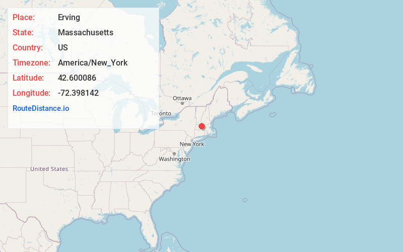
Location Information
-
Full AddressErving, MA
-
Coordinates42.6000863, -72.3981416
-
LocationErving , Massachusetts , US
-
TimezoneAmerica/New_York
-
Current Local Time12:37:32 PM America/New_YorkThursday, June 19, 2025
-
Page Views0
About Erving
Erving is a town in Franklin County, Massachusetts, United States. The population was 1,665 at the 2020 census. It is part of the Springfield, Massachusetts metropolitan statistical area.


Nearby Places
Found 10 places within 50 miles

Orange
4.6 mi
7.4 km
Orange, MA 01364
Get directions

Gill
5.9 mi
9.5 km
Gill, MA
Get directions

Northfield
7.2 mi
11.6 km
Northfield, MA
Get directions

Montague
8.3 mi
13.4 km
Montague, MA
Get directions

Athol
8.7 mi
14.0 km
Athol, MA
Get directions

Bernardston
9.1 mi
14.6 km
Bernardston, MA 01337
Get directions

Shutesbury
9.9 mi
15.9 km
Shutesbury, MA
Get directions

Deerfield
11.2 mi
18.0 km
Deerfield, MA
Get directions

Leverett
11.5 mi
18.5 km
Leverett, MA
Get directions

Winchester
12.0 mi
19.3 km
Winchester, NH
Get directions
Location Links
Local Weather
Weather Information
Coming soon!
Location Map
Static map view of Erving, Massachusetts
Browse Places by Distance
Places within specific distances from Erving
Short Distances
Long Distances
Click any distance to see all places within that range from Erving. Distances shown in miles (1 mile ≈ 1.61 kilometers).