Distance to Ethel, Oklahoma

Calculating Your Route
Just a moment while we process your request...
Location Information
-
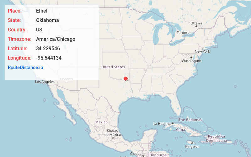
Full AddressEthel, OK 74523
-
Coordinates34.2295461, -95.5441336
-
LocationOklahoma , US
-
TimezoneAmerica/Chicago
-
Current Local Time9:00:23 AM America/ChicagoMonday, May 19, 2025
-
Page Views0
About Ethel
Ethel is an unincorporated community in Pushmataha County, Oklahoma, United States, six miles east of Antlers.
A United States Post Office was established at Ethel, Indian Territory on April 22, 1901, and operated until August 15, 1933. It was named for Ethel Labors, early-day resident.
Nearby Places
Found 10 places within 50 miles

Dela
2.4 mi
3.9 km
Dela, OK 74523
Get directions

Antlers
4.3 mi
6.9 km
Antlers, OK 74523
Get directions
Finley
7.4 mi
11.9 km
Finley, OK
Get directions

Rattan
7.8 mi
12.6 km
Rattan, OK
Get directions
Moyers
8.8 mi
14.2 km
Moyers, OK
Get directions
Kent
9.2 mi
14.8 km
Kent, OK 74743
Get directions
Apple
10.2 mi
16.4 km
Apple, OK 74743
Get directions
Messer
10.7 mi
17.2 km
Messer, OK 74743
Get directions

Oleta
11.6 mi
18.7 km
Oleta, OK 74562
Get directions
Miller
12.9 mi
20.8 km
Miller, OK 74525
Get directions
Location Links
Local Weather
Weather Information
Coming soon!
Location Map
Static map view of Ethel, Oklahoma
Browse Places by Distance
Places within specific distances from Ethel
Short Distances
Long Distances
Click any distance to see all places within that range from Ethel. Distances shown in miles (1 mile ≈ 1.61 kilometers).