Distance to Falling Spring Falls, Virginia

Calculating Your Route
Just a moment while we process your request...
Location Information
-
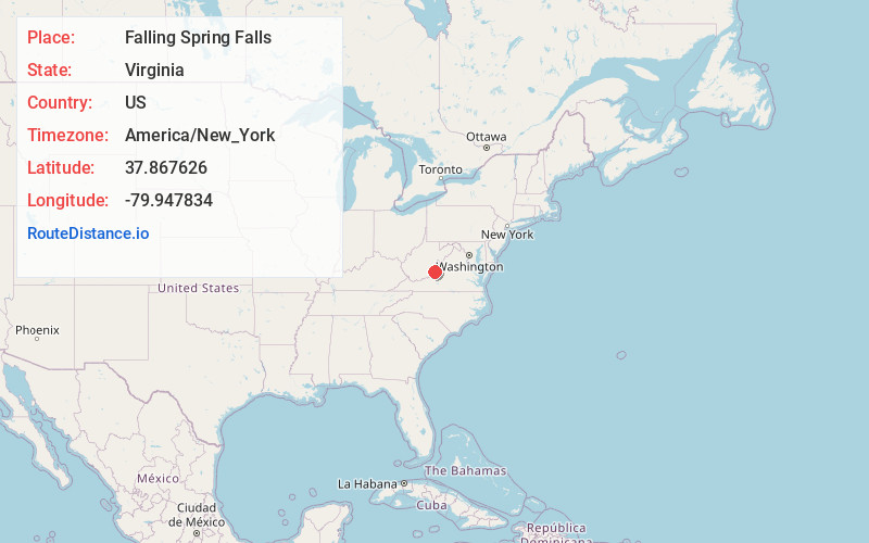
Full AddressFalling Spring Falls, Virginia 24445
-
Coordinates37.8676255, -79.947834
-
LocationVirginia , US
-
TimezoneAmerica/New_York
-
Current Local Time8:00:27 PM America/New_YorkWednesday, June 25, 2025
-
Page Views0


Nearby Places
Found 10 places within 50 miles

Dry Branch
3.2 mi
5.1 km
Dry Branch, Virginia 24426
Get directions
Intervale
3.9 mi
6.3 km
Intervale, VA 24426
Get directions

Covington
5.7 mi
9.2 km
Covington, VA 24426
Get directions
Oakwood Forest
5.8 mi
9.3 km
Oakwood Forest, VA 24426
Get directions

Alleghany County
5.8 mi
9.3 km
Alleghany County, VA
Get directions
Westwood Place
6.0 mi
9.7 km
Westwood Place, VA 24426
Get directions

Low Moor
6.5 mi
10.5 km
Low Moor, VA
Get directions
Perkins Point
6.6 mi
10.6 km
Perkins Point, VA 24445
Get directions

Selma
6.9 mi
11.1 km
Selma, VA
Get directions

Clifton Forge
7.6 mi
12.2 km
Clifton Forge, VA 24422
Get directions
Location Links
Local Weather
Weather Information
Coming soon!
Location Map
Static map view of Falling Spring Falls, Virginia
Browse Places by Distance
Places within specific distances from Falling Spring Falls
Short Distances
Long Distances
Click any distance to see all places within that range from Falling Spring Falls. Distances shown in miles (1 mile ≈ 1.61 kilometers).