Distance to Ferry, Michigan

Calculating Your Route
Just a moment while we process your request...
Location Information
-
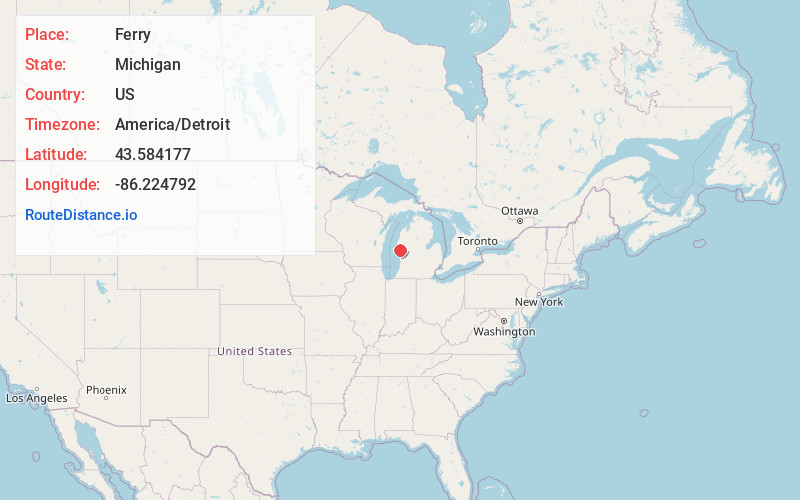
Full AddressFerry, MI 49455
-
Coordinates43.5841773, -86.2247918
-
LocationFerry , Michigan , US
-
TimezoneAmerica/Detroit
-
Current Local Time7:45:17 PM America/DetroitThursday, June 19, 2025
-
Page Views0
Nearby Places
Found 10 places within 50 miles

New Era
6.3 mi
10.1 km
New Era, MI 49446
Get directions

Shelby
7.2 mi
11.6 km
Shelby, MI 49455
Get directions

Rothbury
8.1 mi
13.0 km
Rothbury, MI
Get directions

Hesperia
9.3 mi
15.0 km
Hesperia, MI 49421
Get directions

Walkerville
10.3 mi
16.6 km
Walkerville, MI 49459
Get directions

Hart
10.5 mi
16.9 km
Hart, MI
Get directions

Mears
11.9 mi
19.2 km
Mears, MI
Get directions

Stony Lake
13.2 mi
21.2 km
Stony Lake, Michigan
Get directions

Montague
13.3 mi
21.4 km
Montague, MI
Get directions

Whitehall
13.5 mi
21.7 km
Whitehall, MI 49461
Get directions
Location Links
Local Weather
Weather Information
Coming soon!
Location Map
Static map view of Ferry, Michigan
Browse Places by Distance
Places within specific distances from Ferry
Short Distances
Long Distances
Click any distance to see all places within that range from Ferry. Distances shown in miles (1 mile ≈ 1.61 kilometers).