Distance to Flat Iron, Virginia

Calculating Your Route
Just a moment while we process your request...
Location Information
-
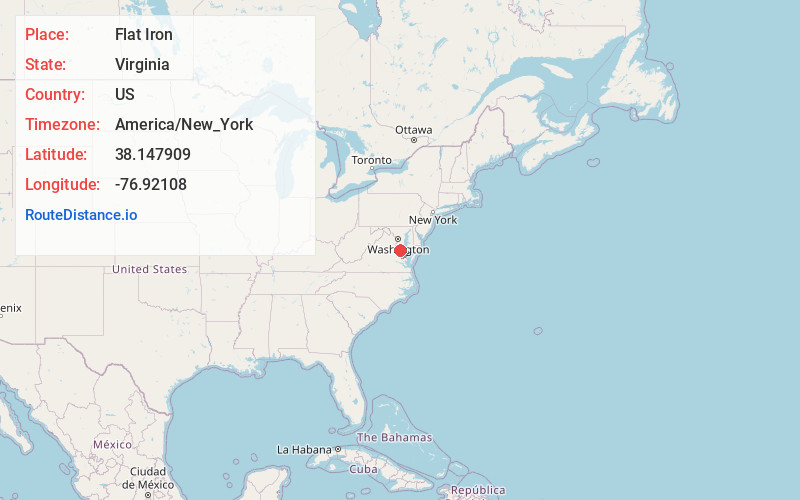
Full AddressFlat Iron, VA 22520
-
Coordinates38.1479092, -76.9210802
-
LocationVirginia , US
-
TimezoneAmerica/New_York
-
Current Local Time3:59:39 AM America/New_YorkWednesday, June 18, 2025
-
Page Views0
About Flat Iron
Flat Iron is an unincorporated community in Westmoreland County, in the U. S. state of Virginia.
Nearby Places
Found 10 places within 50 miles

Oak Grove
4.7 mi
7.6 km
Oak Grove, VA 22443
Get directions

Montross
6.3 mi
10.1 km
Montross, VA 22520
Get directions

Colonial Beach
7.7 mi
12.4 km
Colonial Beach, VA 22443
Get directions

Cobb Island
8.7 mi
14.0 km
Cobb Island, MD
Get directions

Rock Point
9.6 mi
15.4 km
Rock Point, MD 20664
Get directions
Milestown
12.5 mi
20.1 km
Milestown, MD 20618
Get directions
Battery
13.8 mi
22.2 km
Battery, VA 22560
Get directions

Dahlgren
14.5 mi
23.3 km
Dahlgren, VA 22485
Get directions
Chestnut Hill
14.6 mi
23.5 km
Chestnut Hill, VA 22485
Get directions

Port Royal
14.8 mi
23.8 km
Port Royal, VA 22535
Get directions
Location Links
Local Weather
Weather Information
Coming soon!
Location Map
Static map view of Flat Iron, Virginia
Browse Places by Distance
Places within specific distances from Flat Iron
Short Distances
Long Distances
Click any distance to see all places within that range from Flat Iron. Distances shown in miles (1 mile ≈ 1.61 kilometers).