Distance to Flat Rock, Ohio

Calculating Your Route
Just a moment while we process your request...
Location Information
-
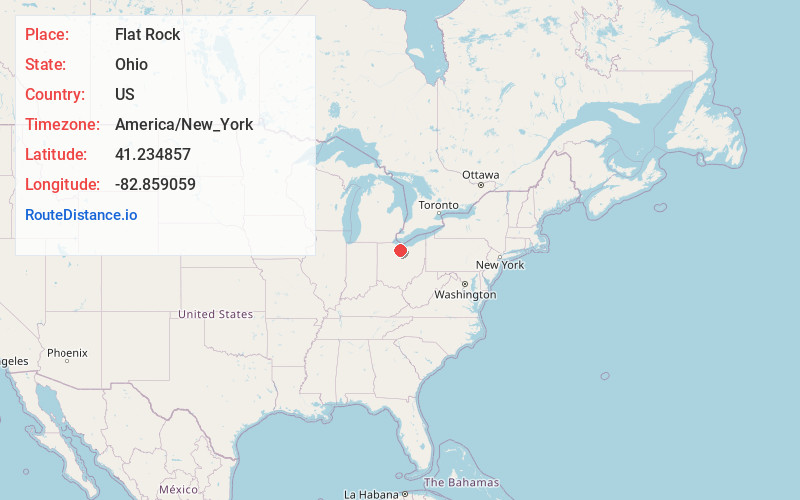
Full AddressFlat Rock, OH
-
Coordinates41.2348571, -82.8590592
-
LocationFlat Rock , Ohio , US
-
TimezoneAmerica/New_York
-
Current Local Time10:32:32 AM America/New_YorkWednesday, June 25, 2025
-
Page Views0
About Flat Rock
Flat Rock is a census-designated place in northeastern Thompson Township, Seneca County, Ohio, United States. It has a post office with the ZIP code 44828. The population was 227 at the 2020 census.
Nearby Places
Found 10 places within 50 miles

Bellevue
2.8 mi
4.5 km
Bellevue, OH 44811
Get directions

Clyde
7.7 mi
12.4 km
Clyde, OH 43410
Get directions

Monroeville
8.5 mi
13.7 km
Monroeville, OH 44847
Get directions

Green Springs
10.1 mi
16.3 km
Green Springs, OH 44836
Get directions

Republic
11.3 mi
18.2 km
Republic, OH 44867
Get directions

Castalia
11.7 mi
18.8 km
Castalia, OH 44824
Get directions

Attica
11.8 mi
19.0 km
Attica, OH 44807
Get directions

Norwalk
12.7 mi
20.4 km
Norwalk, OH
Get directions

Whites Landing
13.6 mi
21.9 km
Whites Landing, OH 43464
Get directions

Milan
13.9 mi
22.4 km
Milan, OH
Get directions
Location Links
Local Weather
Weather Information
Coming soon!
Location Map
Static map view of Flat Rock, Ohio
Browse Places by Distance
Places within specific distances from Flat Rock
Short Distances
Long Distances
Click any distance to see all places within that range from Flat Rock. Distances shown in miles (1 mile ≈ 1.61 kilometers).