Distance to and from Flatwoods, Tennessee
Flatwoods, TN
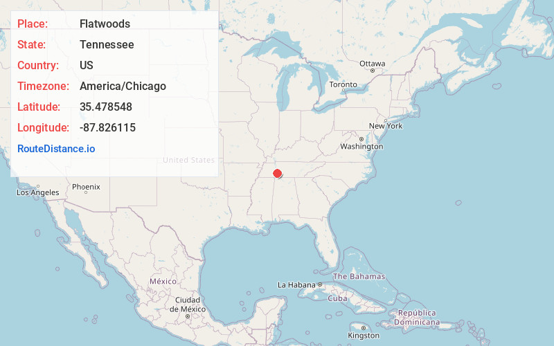
Flatwoods
Tennessee
US
America/Chicago
Location Information
-
Full AddressFlatwoods, TN
-
Coordinates35.4785477, -87.826115
-
NeighborhoodFlatwoods
-
LocationFlatwoods , Tennessee , US
-
TimezoneAmerica/Chicago
-
Current Local Time11:10:07 AM America/ChicagoWednesday, May 7, 2025
-
Page Views0
Directions to Nearest Cities
About Flatwoods
Flat Woods is an unincorporated community in Perry County, Tennessee, United States. Originally known as Whitaker's Bluff, the name was changed to Flatwoods in 1871. It lies along State Route 13 south of the town of Linden, the county seat of Perry County. Its elevation is 676 feet.


Nearby Places
Found 10 places within 50 miles

Sugar Hill
5.1 mi
8.2 km
Sugar Hill, TN 37096
Get directions
Mooney
6.0 mi
9.7 km
Mooney, TN 38425
Get directions
Ashland
9.4 mi
15.1 km
Ashland, TN 38485
Get directions

Linden
9.6 mi
15.4 km
Linden, TN 37096
Get directions
Chestnut Grove
10.5 mi
16.9 km
Chestnut Grove, TN 37096
Get directions

Clifton
11.4 mi
18.3 km
Clifton, TN 38425
Get directions

Waynesboro
11.6 mi
18.7 km
Waynesboro, TN 38485
Get directions
Pope
13.3 mi
21.4 km
Pope, TN 37096
Get directions
Lomax Crossroads
14.9 mi
24.0 km
Lomax Crossroads, Hohenwald, TN 38462
Get directions
Voorhies
15.0 mi
24.1 km
Voorhies, TN 38462
Get directions
Sugar Hill
5.1 mi
8.2 km
Sugar Hill, TN 37096
Mooney
6.0 mi
9.7 km
Mooney, TN 38425
Ashland
9.4 mi
15.1 km
Ashland, TN 38485
Linden
9.6 mi
15.4 km
Linden, TN 37096
Chestnut Grove
10.5 mi
16.9 km
Chestnut Grove, TN 37096
Clifton
11.4 mi
18.3 km
Clifton, TN 38425
Waynesboro
11.6 mi
18.7 km
Waynesboro, TN 38485
Pope
13.3 mi
21.4 km
Pope, TN 37096
Lomax Crossroads
14.9 mi
24.0 km
Lomax Crossroads, Hohenwald, TN 38462
Voorhies
15.0 mi
24.1 km
Voorhies, TN 38462
Location Links
Local Weather
Weather Information
Coming soon!
Location Map
Static map view of Flatwoods, Tennessee
Browse Places by Distance
Places within specific distances from Flatwoods
Short Distances
Long Distances
Click any distance to see all places within that range from Flatwoods. Distances shown in miles (1 mile ≈ 1.61 kilometers).