Distance to Flaxton, North Dakota

Calculating Your Route
Just a moment while we process your request...
Location Information
-
Full AddressFlaxton, ND 58737
-
Coordinates48.8986389, -102.3923913
-
LocationFlaxton , North Dakota , US
-
TimezoneAmerica/Chicago
-
Current Local Time7:17:22 PM America/ChicagoSaturday, June 21, 2025
-
Page Views0
About Flaxton
Flaxton is a city in Burke County, North Dakota, United States. The population was 60 at the 2020 census. Flaxton was founded in 1900 and was named because the predominant crop in the area is flax.
Nearby Places
Found 10 places within 50 miles

Lignite
7.9 mi
12.7 km
Lignite, ND 58752
Get directions

Bowbells
9.4 mi
15.1 km
Bowbells, ND 58721
Get directions

Portal
9.8 mi
15.8 km
Portal, ND 58772
Get directions
Columbus
17.6 mi
28.3 km
Columbus, ND 58727
Get directions

Kenmare
20.9 mi
33.6 km
Kenmare, ND 58746
Get directions
Powers Lake
26.0 mi
41.8 km
Powers Lake, ND 58773
Get directions
Noonan
28.0 mi
45.1 km
Noonan, ND 58765
Get directions

McGregor
32.2 mi
51.8 km
McGregor, ND 58755
Get directions
Sherwood
34.7 mi
55.8 km
Sherwood, ND 58782
Get directions

Donnybrook
35.5 mi
57.1 km
Donnybrook, ND 58734
Get directions
Location Links
Local Weather
Weather Information
Coming soon!
Location Map
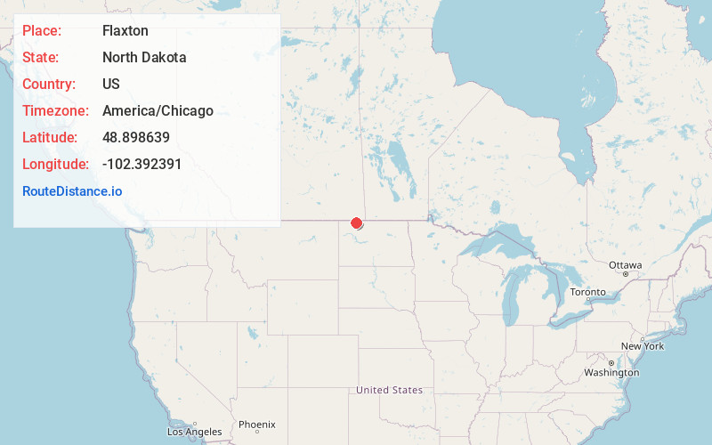
Static map view of Flaxton, North Dakota
Browse Places by Distance
Places within specific distances from Flaxton
Short Distances
Long Distances
Click any distance to see all places within that range from Flaxton. Distances shown in miles (1 mile ≈ 1.61 kilometers).