Distance to Folly Mills Creek, Virginia

Calculating Your Route
Just a moment while we process your request...
Location Information
-
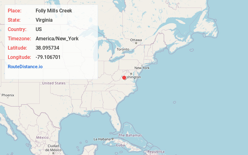
Full AddressFolly Mills Creek, Virginia 24401
-
Coordinates38.095734, -79.1067009
-
LocationVirginia , US
-
TimezoneAmerica/New_York
-
Current Local Time5:27:16 PM America/New_YorkSunday, June 15, 2025
-
Page Views0


Nearby Places
Found 10 places within 50 miles

Mint Spring
1.5 mi
2.4 km
Mint Spring, VA 24401
Get directions

Jolivue
2.2 mi
3.5 km
Jolivue, VA 24401
Get directions
Arbor Hill
2.5 mi
4.0 km
Arbor Hill, VA 24401
Get directions
Snyder
3.8 mi
6.1 km
Snyder, VA 24401
Get directions
Plunkettsville
3.9 mi
6.3 km
Plunkettsville, Staunton, VA 24401
Get directions
Cedar Green
4.0 mi
6.4 km
Cedar Green, VA 24401
Get directions

Staunton
4.1 mi
6.6 km
Staunton, VA 24401
Get directions
Peyton
4.4 mi
7.1 km
Peyton, Staunton, VA 24401
Get directions
Brand
5.1 mi
8.2 km
Brand, Fishersville, VA 24401
Get directions
Wilda
5.4 mi
8.7 km
Wilda, VA 24440
Get directions
Location Links
Local Weather
Weather Information
Coming soon!
Location Map
Static map view of Folly Mills Creek, Virginia
Browse Places by Distance
Places within specific distances from Folly Mills Creek
Short Distances
Long Distances
Click any distance to see all places within that range from Folly Mills Creek. Distances shown in miles (1 mile ≈ 1.61 kilometers).