Distance to Forkland, Kentucky

Calculating Your Route
Just a moment while we process your request...
Location Information
-
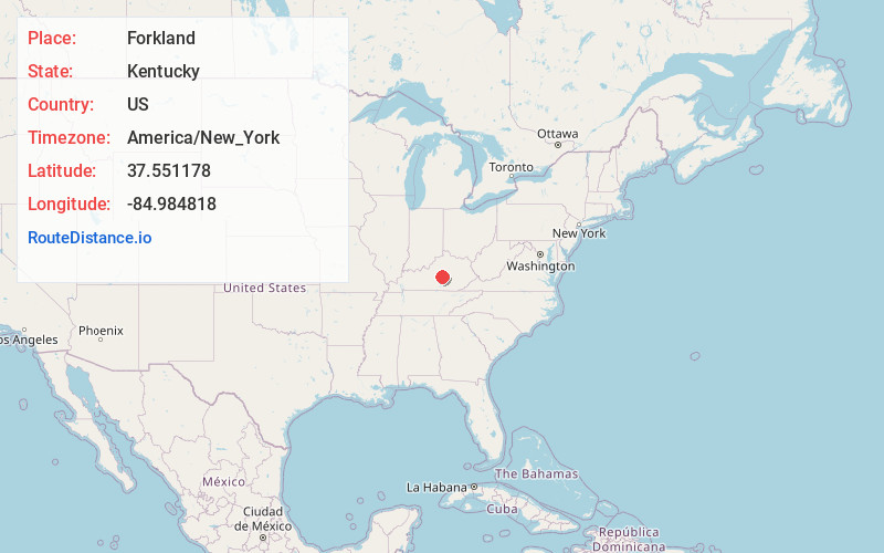
Full AddressForkland, KY 40464
-
Coordinates37.551178, -84.984818
-
LocationForkland , Kentucky , US
-
TimezoneAmerica/New_York
-
Current Local Time11:00:48 PM America/New_YorkWednesday, June 25, 2025
-
Page Views0
About Forkland
Forkland is a small unincorporated community in southwestern Boyle County, Kentucky, United States, along the North Rolling Fork.
It is part of the Danville Micropolitan Statistical Area.
The area was settled by 1800 and the name was in use at an early date.


Nearby Places
Found 10 places within 50 miles

Brumfield
3.7 mi
6.0 km
Brumfield, KY 40468
Get directions
Mitchellsburg
3.9 mi
6.3 km
Mitchellsburg, KY 40464
Get directions
Gravel Switch
4.2 mi
6.8 km
Gravel Switch, KY 40328
Get directions

Parksville
6.1 mi
9.8 km
Parksville, KY 40440
Get directions
Riley
6.3 mi
10.1 km
Riley, KY 40328
Get directions
Chilton
6.6 mi
10.6 km
Chilton, KY 40009
Get directions
Ellisburg
6.8 mi
10.9 km
Ellisburg, KY 40437
Get directions

Perryville
7.1 mi
11.4 km
Perryville, KY 40468
Get directions
Jacktown
7.6 mi
12.2 km
Jacktown, KY 40009
Get directions
Alum Springs
8.5 mi
13.7 km
Alum Springs, KY 40422
Get directions
Location Links
Local Weather
Weather Information
Coming soon!
Location Map
Static map view of Forkland, Kentucky
Browse Places by Distance
Places within specific distances from Forkland
Short Distances
Long Distances
Click any distance to see all places within that range from Forkland. Distances shown in miles (1 mile ≈ 1.61 kilometers).