Distance to Fort Jones, California

Calculating Your Route
Just a moment while we process your request...
Location Information
-
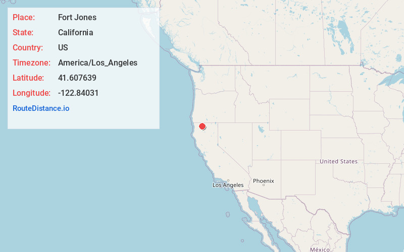
Full AddressFort Jones, CA 96032
-
Coordinates41.6076387, -122.8403099
-
LocationFort Jones , California , US
-
TimezoneAmerica/Los_Angeles
-
Current Local Time8:50:56 AM America/Los_AngelesTuesday, June 17, 2025
-
Page Views0
About Fort Jones
Fort Jones is a town in the Scott Valley area of Siskiyou County, California, United States. Like many of the communities that surround Mount Shasta, it lies in the southern tip of the Cascadia bioregion. Its population is 695 as of the 2020 census, down from 839 from the 2010 census.


Nearby Places
Found 10 places within 50 miles

Etna
10.8 mi
17.4 km
Etna, CA 96027
Get directions

Yreka
13.8 mi
22.2 km
Yreka, CA 96097
Get directions

Montague
18.2 mi
29.3 km
Montague, CA 96064
Get directions

Weed
26.8 mi
43.1 km
Weed, CA
Get directions

Happy Camp
30.6 mi
49.2 km
Happy Camp, CA 96039
Get directions

Mt Shasta
34.3 mi
55.2 km
Mt Shasta, CA 96067
Get directions

Dunsmuir
40.4 mi
65.0 km
Dunsmuir, CA
Get directions

Ashland
41.1 mi
66.1 km
Ashland, OR 97520
Get directions

McCloud
43.7 mi
70.3 km
McCloud, CA 96057
Get directions

Talent
44.2 mi
71.1 km
Talent, OR 97540
Get directions
Location Links
Local Weather
Weather Information
Coming soon!
Location Map
Static map view of Fort Jones, California
Browse Places by Distance
Places within specific distances from Fort Jones
Short Distances
Long Distances
Click any distance to see all places within that range from Fort Jones. Distances shown in miles (1 mile ≈ 1.61 kilometers).