Distance to Fort Leavenworth Unified School District 207, Kansas

Calculating Your Route
Just a moment while we process your request...
Location Information
-
Full AddressFort Leavenworth Unified School District 207, KS
-
Coordinates39.3514463, -94.9247074
-
LocationKansas , US
-
TimezoneAmerica/Chicago
-
Current Local Time9:25:46 PM America/ChicagoSaturday, May 31, 2025
-
Website
-
Page Views0
About Fort Leavenworth Unified School District 207
Fort Leavenworth USD 207 is a public unified school district headquartered in Fort Leavenworth, Kansas, United States.
Nearby Places
Found 10 places within 50 miles

Leavenworth
2.8 mi
4.5 km
Leavenworth, KS
Get directions

Stillings
2.9 mi
4.7 km
Stillings, Lee Township, MO 64079
Get directions
Beverly
3.3 mi
5.3 km
Beverly, Fair Township, MO 64079
Get directions
Buxton
3.6 mi
5.8 km
Buxton, Lee Township, MO 64079
Get directions
Kickapoo
4.1 mi
6.6 km
Kickapoo, KS 66048
Get directions

Weston
4.3 mi
6.9 km
Weston, MO 64098
Get directions

East Leavenworth
4.7 mi
7.6 km
East Leavenworth, Lee Township, MO 64079
Get directions
Bain City
4.8 mi
7.7 km
Bain City, Leavenworth, KS 66048
Get directions
Richardson
6.0 mi
9.7 km
Richardson, Lansing, KS 66043
Get directions
Sadler
6.1 mi
9.8 km
Sadler, Weston Township, MO 64098
Get directions
Location Links
Local Weather
Weather Information
Coming soon!
Location Map
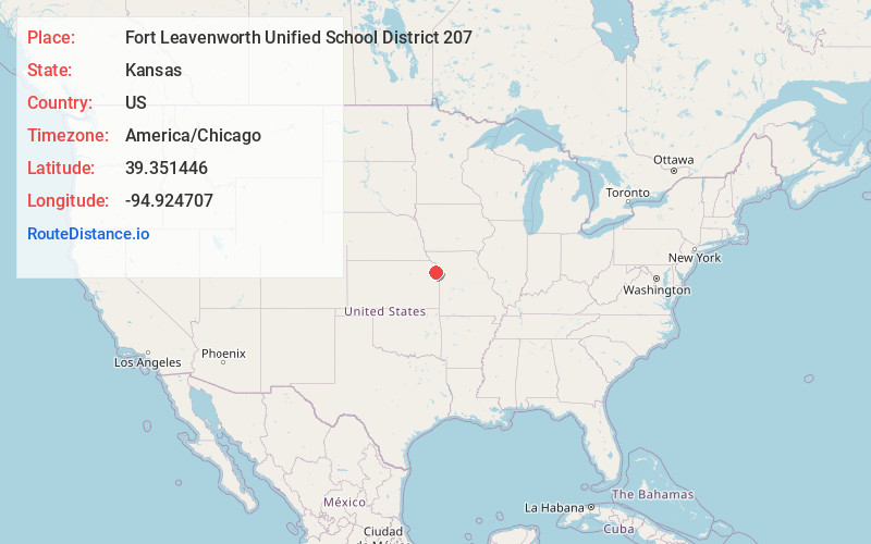
Static map view of Fort Leavenworth Unified School District 207, Kansas
Browse Places by Distance
Places within specific distances from Fort Leavenworth Unified School District 207
Short Distances
Long Distances
Click any distance to see all places within that range from Fort Leavenworth Unified School District 207. Distances shown in miles (1 mile ≈ 1.61 kilometers).