Distance to Fowlstown, Georgia

Calculating Your Route
Just a moment while we process your request...
Location Information
-
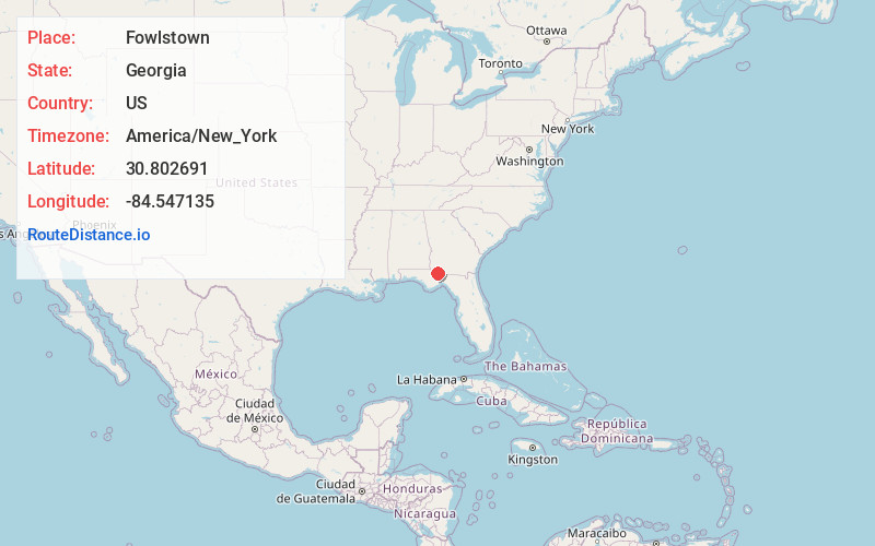
Full AddressFowlstown, GA 39815
-
Coordinates30.8026909, -84.5471354
-
LocationFowlstown , Georgia , US
-
TimezoneAmerica/New_York
-
Current Local Time8:13:19 AM America/New_YorkThursday, June 5, 2025
-
Page Views0
About Fowlstown
Fowlstown is an unincorporated community in Decatur County, Georgia, United States. The community is located on Georgia State Route 309, 7.3 miles south of Bainbridge. Fowlstown has a post office with ZIP code 39852, which opened on March 12, 1883. An early variant name was Kemp.


Nearby Places
Found 10 places within 50 miles

Attapulgus
5.3 mi
8.5 km
Attapulgus, GA 39815
Get directions
Faceville
6.5 mi
10.5 km
Faceville, GA 39819
Get directions

Bainbridge
7.2 mi
11.6 km
Bainbridge, GA
Get directions
Climax
8.5 mi
13.7 km
Climax, GA 39834
Get directions
Dogtown
8.9 mi
14.3 km
Dogtown, FL 32352
Get directions
Nickleville
12.6 mi
20.3 km
Nickleville, GA 39897
Get directions
Darsey
12.7 mi
20.4 km
Darsey, FL 32333
Get directions

Calvary
12.8 mi
20.6 km
Calvary, GA
Get directions
Oak Grove
13.4 mi
21.6 km
Oak Grove, FL 32324
Get directions
Cyrene
14.0 mi
22.5 km
Cyrene, GA 39817
Get directions
Location Links
Local Weather
Weather Information
Coming soon!
Location Map
Static map view of Fowlstown, Georgia
Browse Places by Distance
Places within specific distances from Fowlstown
Short Distances
Long Distances
Click any distance to see all places within that range from Fowlstown. Distances shown in miles (1 mile ≈ 1.61 kilometers).