Distance to Fruitland, Missouri

Calculating Your Route
Just a moment while we process your request...
Location Information
-
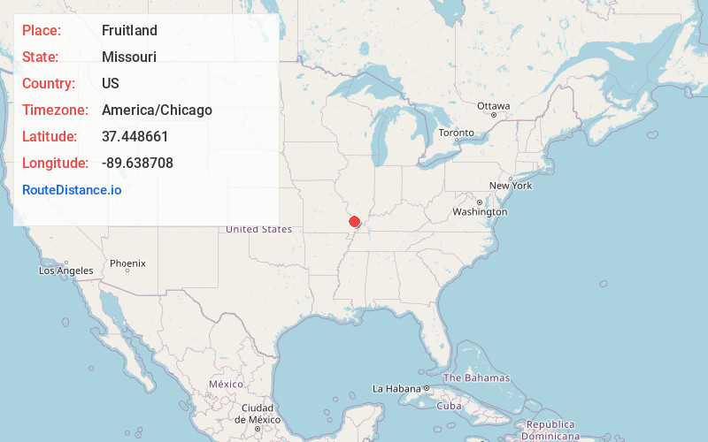
Full AddressFruitland, MO 63755
-
Coordinates37.4486614, -89.6387075
-
LocationFruitland , Missouri , US
-
TimezoneAmerica/Chicago
-
Current Local Time9:19:30 AM America/ChicagoFriday, June 20, 2025
-
Page Views0
About Fruitland
Fruitland is an unincorporated community in Cape Girardeau County, Missouri, United States. It is located on U.S. Route 61, 5 mi north of Jackson and just over one mile north of the intersection of U.S. 61 and Interstate 55.
Nearby Places
Found 10 places within 50 miles

Leemon
3.0 mi
4.8 km
Leemon, MO 63755
Get directions
Pocahontas
3.6 mi
5.8 km
Pocahontas, MO 63755
Get directions

Jackson
4.8 mi
7.7 km
Jackson, MO 63755
Get directions
Oak Ridge
6.2 mi
10.0 km
Oak Ridge, MO
Get directions
Shawneetown
7.1 mi
11.4 km
Shawneetown, MO 63755
Get directions
New Wells
7.5 mi
12.1 km
New Wells, MO
Get directions
Neelys Landing
8.4 mi
13.5 km
Neelys Landing, Shawnee Township, MO 63755
Get directions

Millersville
8.9 mi
14.3 km
Millersville, MO
Get directions
Gordonville
9.8 mi
15.8 km
Gordonville, MO
Get directions
Daisy
9.9 mi
15.9 km
Daisy, MO 63769
Get directions
Location Links
Local Weather
Weather Information
Coming soon!
Location Map
Static map view of Fruitland, Missouri
Browse Places by Distance
Places within specific distances from Fruitland
Short Distances
Long Distances
Click any distance to see all places within that range from Fruitland. Distances shown in miles (1 mile ≈ 1.61 kilometers).