Distance to and from Fulford, North Carolina
Fulford, NC 28470
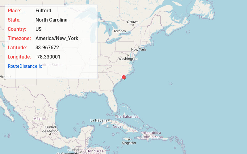
North Carolina
US
America/New_York
Location Information
-
Full AddressFulford, NC 28470
-
Coordinates33.9676721, -78.3300014
-
LocationNorth Carolina , US
-
TimezoneAmerica/New_York
-
Current Local Time4:46:46 PM America/New_YorkSaturday, May 3, 2025
-
Page Views0
Directions to Nearest Cities
Nearby Places
Found 10 places within 50 miles

Sivey Town
1.4 mi
2.3 km
Sivey Town, NC 28462
Get directions
Monogram
2.4 mi
3.9 km
Monogram, NC 28470
Get directions

Shallotte
2.8 mi
4.5 km
Shallotte, NC
Get directions
Secession
3.1 mi
5.0 km
Secession, NC 28462
Get directions
Doe Creek
3.2 mi
5.1 km
Doe Creek, NC 28462
Get directions

Holden Beach
5.1 mi
8.2 km
Holden Beach, NC
Get directions

Varnamtown
5.5 mi
8.9 km
Varnamtown, NC 28462
Get directions
Sandy Hill
5.8 mi
9.3 km
Sandy Hill, NC 28422
Get directions
Lennon Crossroads
5.8 mi
9.3 km
Lennon Crossroads, NC 28422
Get directions
Middle River
6.1 mi
9.8 km
Middle River, NC 28462
Get directions
Sivey Town
1.4 mi
2.3 km
Sivey Town, NC 28462
Monogram
2.4 mi
3.9 km
Monogram, NC 28470
Shallotte
2.8 mi
4.5 km
Shallotte, NC
Secession
3.1 mi
5.0 km
Secession, NC 28462
Doe Creek
3.2 mi
5.1 km
Doe Creek, NC 28462
Holden Beach
5.1 mi
8.2 km
Holden Beach, NC
Varnamtown
5.5 mi
8.9 km
Varnamtown, NC 28462
Sandy Hill
5.8 mi
9.3 km
Sandy Hill, NC 28422
Lennon Crossroads
5.8 mi
9.3 km
Lennon Crossroads, NC 28422
Middle River
6.1 mi
9.8 km
Middle River, NC 28462
Location Links
Local Weather
Weather Information
Coming soon!
Location Map
Static map view of Fulford, North Carolina
Browse Places by Distance
Places within specific distances from Fulford
Short Distances
Long Distances
Click any distance to see all places within that range from Fulford. Distances shown in miles (1 mile ≈ 1.61 kilometers).