Distance to Secession, North Carolina

Calculating Your Route
Just a moment while we process your request...
Location Information
-
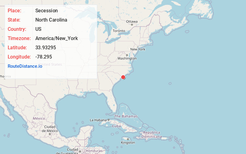
Full AddressSecession, NC 28462
-
Coordinates33.9329504, -78.2949998
-
LocationNorth Carolina , US
-
TimezoneAmerica/New_York
-
Current Local Time3:49:56 AM America/New_YorkWednesday, June 18, 2025
-
Page Views0
Nearby Places
Found 10 places within 50 miles

Holden Beach
2.0 mi
3.2 km
Holden Beach, NC
Get directions

Sivey Town
2.5 mi
4.0 km
Sivey Town, NC 28462
Get directions

Varnamtown
3.2 mi
5.1 km
Varnamtown, NC 28462
Get directions
Lennon Crossroads
5.6 mi
9.0 km
Lennon Crossroads, NC 28422
Get directions

Shallotte
5.7 mi
9.2 km
Shallotte, NC
Get directions

Oak Island
7.7 mi
12.4 km
Oak Island, NC
Get directions
Brunswick County
8.4 mi
13.5 km
Brunswick County, NC
Get directions
Suburb
9.8 mi
15.8 km
Suburb, NC 28422
Get directions

St James
10.3 mi
16.6 km
St James, NC 28461
Get directions
Half Hell
10.8 mi
17.4 km
Half Hell, NC 28422
Get directions
Location Links
Local Weather
Weather Information
Coming soon!
Location Map
Static map view of Secession, North Carolina
Browse Places by Distance
Places within specific distances from Secession
Short Distances
Long Distances
Click any distance to see all places within that range from Secession. Distances shown in miles (1 mile ≈ 1.61 kilometers).