Distance to Gable, South Carolina

Calculating Your Route
Just a moment while we process your request...
Location Information
-
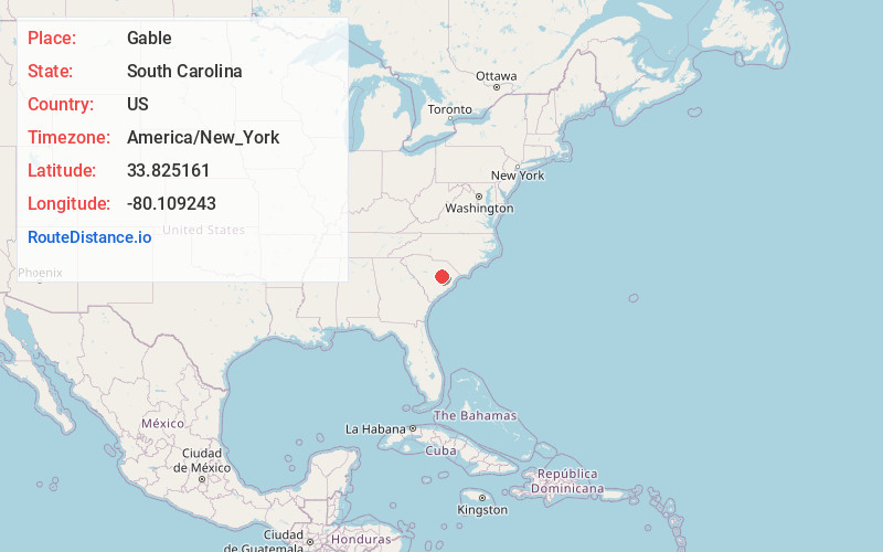
Full AddressGable, SC 29051
-
Coordinates33.825161, -80.1092426
-
LocationGable , South Carolina , US
-
TimezoneAmerica/New_York
-
Current Local Time12:47:50 AM America/New_YorkSaturday, June 21, 2025
-
Page Views0
About Gable
Gable is an unincorporated community in Clarendon County, South Carolina, United States. The community is located along U.S. Route 301, 10.7 miles north-northeast of Manning. Gable has a post office with ZIP code 29051, which opened on June 6, 1916.
Nearby Places
Found 10 places within 50 miles

Durant
2.6 mi
4.2 km
Durant, SC 29001
Get directions
Cypress Fork Crossroads
5.8 mi
9.3 km
Cypress Fork Crossroads, SC 29001
Get directions

Turbeville
6.9 mi
11.1 km
Turbeville, SC 29162
Get directions
Brunsons Store
7.9 mi
12.7 km
Brunsons Store, SC 29153
Get directions

Alcolu
8.2 mi
13.2 km
Alcolu, SC 29001
Get directions
Shiloh
8.9 mi
14.3 km
Shiloh, SC
Get directions

Manning
10.7 mi
17.2 km
Manning, SC 29102
Get directions

Mayesville
12.6 mi
20.3 km
Mayesville, SC 29104
Get directions
Olanta
12.7 mi
20.4 km
Olanta, SC 29114
Get directions
East Sumter
12.8 mi
20.6 km
East Sumter, SC 29153
Get directions
Location Links
Local Weather
Weather Information
Coming soon!
Location Map
Static map view of Gable, South Carolina
Browse Places by Distance
Places within specific distances from Gable
Short Distances
Long Distances
Click any distance to see all places within that range from Gable. Distances shown in miles (1 mile ≈ 1.61 kilometers).