Distance to Gap Creek, South Carolina

Calculating Your Route
Just a moment while we process your request...
Location Information
-
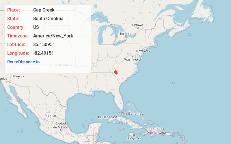
Full AddressGap Creek, SC 29661
-
Coordinates35.1509507, -82.4915101
-
LocationSouth Carolina , US
-
TimezoneAmerica/New_York
-
Current Local Time9:25:19 PM America/New_YorkMonday, June 23, 2025
-
Page Views0
Nearby Places
Found 10 places within 50 miles

Mountain Valley
4.5 mi
7.2 km
Mountain Valley, NC 28790
Get directions
Chestnut Springs
5.2 mi
8.4 km
Chestnut Springs, SC 29690
Get directions
Cross Plains
5.4 mi
8.7 km
Cross Plains, SC 29690
Get directions

Rainbow Falls
5.6 mi
9.0 km
Rainbow Falls, South Carolina 29635
Get directions

Cleveland
5.7 mi
9.2 km
Cleveland, SC 29661
Get directions

Tuxedo
6.2 mi
10.0 km
Tuxedo, NC 28790
Get directions

Slater-Marietta
8.5 mi
13.7 km
Slater-Marietta, SC 29661
Get directions

Flat Rock
8.8 mi
14.2 km
Flat Rock, NC
Get directions
Tigerville
8.9 mi
14.3 km
Tigerville, SC
Get directions
Laurel Rock Acres
9.2 mi
14.8 km
Laurel Rock Acres, NC 28739
Get directions
Location Links
Local Weather
Weather Information
Coming soon!
Location Map
Static map view of Gap Creek, South Carolina
Browse Places by Distance
Places within specific distances from Gap Creek
Short Distances
Long Distances
Click any distance to see all places within that range from Gap Creek. Distances shown in miles (1 mile ≈ 1.61 kilometers).