Distance to Garwood, Missouri

Calculating Your Route
Just a moment while we process your request...
Location Information
-
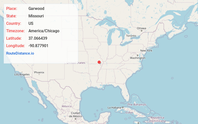
Full AddressGarwood, MO 63965
-
Coordinates37.066439, -90.8779014
-
LocationGarwood , Missouri , US
-
TimezoneAmerica/Chicago
-
Current Local Time9:34:17 AM America/ChicagoMonday, June 23, 2025
-
Page Views0
About Garwood
Garwood is an unincorporated community in southern Reynolds County, in the U.S. state of Missouri. The community is on Missouri Route 34 and approximately eight miles northeast of Van Buren in adjacent Carter County.
Nearby Places
Found 10 places within 50 miles

Hadley
4.5 mi
7.2 km
Hadley, MO 63957
Get directions
Ruble
5.8 mi
9.3 km
Ruble, Logan Township, MO 63638
Get directions

Clearwater Lake
7.5 mi
12.1 km
Clearwater Lake, Missouri
Get directions

Van Buren
9.0 mi
14.5 km
Van Buren, MO 63965
Get directions
Leeper
9.4 mi
15.1 km
Leeper, MO 63952
Get directions
Mill Spring
10.7 mi
17.2 km
Mill Spring, MO 63952
Get directions

Ellsinore
11.7 mi
18.8 km
Ellsinore, MO 63937
Get directions

Piedmont
11.7 mi
18.8 km
Piedmont, MO 63957
Get directions
Hunter
12.3 mi
19.8 km
Hunter, MO 63943
Get directions
Beal
12.5 mi
20.1 km
Beal, Eminence Township, MO 63638
Get directions
Location Links
Local Weather
Weather Information
Coming soon!
Location Map
Static map view of Garwood, Missouri
Browse Places by Distance
Places within specific distances from Garwood
Short Distances
Long Distances
Click any distance to see all places within that range from Garwood. Distances shown in miles (1 mile ≈ 1.61 kilometers).