Distance to Gaynor, Missouri

Calculating Your Route
Just a moment while we process your request...
Location Information
-
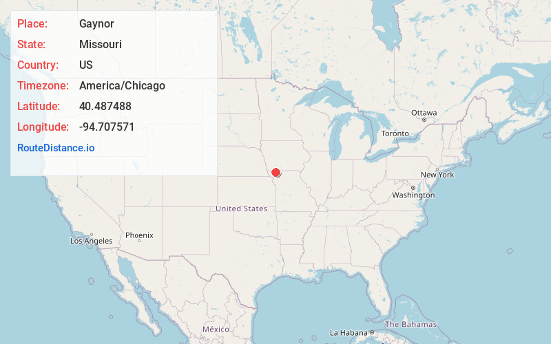
Full AddressGaynor, MO 64486
-
Coordinates40.4874877, -94.7075714
-
LocationGaynor , Missouri , US
-
TimezoneAmerica/Chicago
-
Current Local Time2:05:38 AM America/ChicagoSaturday, May 31, 2025
-
Page Views0
Nearby Places
Found 10 places within 50 miles

Orrsburg
4.0 mi
6.4 km
Orrsburg, Independence Township, MO 64475
Get directions

Sheridan
5.4 mi
8.7 km
Sheridan, MO 64486
Get directions
Parnell
5.5 mi
8.9 km
Parnell, MO 64475
Get directions
Hopkins
7.3 mi
11.7 km
Hopkins, MO 64461
Get directions

Pickering
7.5 mi
12.1 km
Pickering, MO 64476
Get directions
Ravenwood
9.5 mi
15.3 km
Ravenwood, MO 64479
Get directions
Isadora
10.3 mi
16.6 km
Isadora, Union Township, MO 64456
Get directions
Athelstan
10.5 mi
16.9 km
Athelstan, IA 50836
Get directions
Enyart
12.1 mi
19.5 km
Enyart, Wilson Township, MO 64479
Get directions

Bedford
12.4 mi
20.0 km
Bedford, IA 50833
Get directions
Location Links
Local Weather
Weather Information
Coming soon!
Location Map
Static map view of Gaynor, Missouri
Browse Places by Distance
Places within specific distances from Gaynor
Short Distances
Long Distances
Click any distance to see all places within that range from Gaynor. Distances shown in miles (1 mile ≈ 1.61 kilometers).