Distance to Gibson, Missouri

Calculating Your Route
Just a moment while we process your request...
Location Information
-
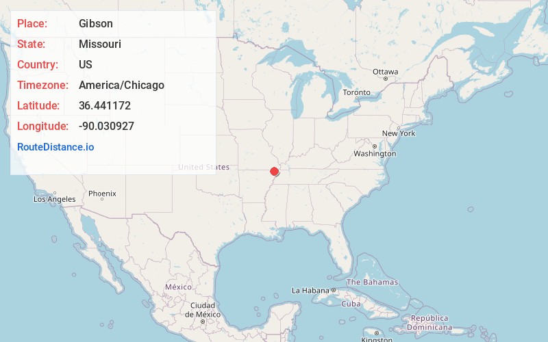
Full AddressGibson, MO 63847
-
Coordinates36.4411718, -90.0309266
-
LocationGibson , Missouri , US
-
TimezoneAmerica/Chicago
-
Current Local Time2:51:00 PM America/ChicagoThursday, June 19, 2025
-
Page Views0
About Gibson
Gibson is an unincorporated community in northern Dunklin County, Missouri, United States. It is located thirteen miles north of Kennett on Route 53.
Gibson was originally called Canaan Island; the present name honors the Gibson family, original owners of the site.
Nearby Places
Found 10 places within 50 miles

Holcomb
2.9 mi
4.7 km
Holcomb, MO 63852
Get directions

Clarkton
3.6 mi
5.8 km
Clarkton, MO 63837
Get directions

Campbell
4.4 mi
7.1 km
Campbell, MO 63933
Get directions
St Francis
6.2 mi
10.0 km
St Francis, AR 72454
Get directions

Gideon
6.3 mi
10.1 km
Gideon, MO 63848
Get directions
White Oak
7.7 mi
12.4 km
White Oak, MO
Get directions

Malden
8.8 mi
14.2 km
Malden, MO 63863
Get directions

Piggott
9.8 mi
15.8 km
Piggott, AR 72454
Get directions

Nimmons
10.0 mi
16.1 km
Nimmons, AR 72461
Get directions
Tallapoosa
12.6 mi
20.3 km
Tallapoosa, MO 63878
Get directions
Location Links
Local Weather
Weather Information
Coming soon!
Location Map
Static map view of Gibson, Missouri
Browse Places by Distance
Places within specific distances from Gibson
Short Distances
Long Distances
Click any distance to see all places within that range from Gibson. Distances shown in miles (1 mile ≈ 1.61 kilometers).