Distance to Gilpin, Nevada

Calculating Your Route
Just a moment while we process your request...
Location Information
-
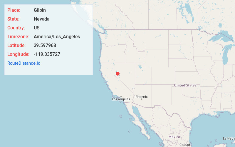
Full AddressGilpin, NV 89434
-
Coordinates39.5979681, -119.3357272
-
LocationNevada , US
-
TimezoneAmerica/Los_Angeles
-
Current Local Time2:57:38 AM America/Los_AngelesMonday, June 2, 2025
-
Page Views0
About Gilpin
Gilpin is former railroad siding, located in the far northeast region of Storey County, Nevada, United States.
The GNIS locates Gilpin on the south side of the Truckee River, which is where there was a non-agency siding between Thisbe and Fernley on the Southern Pacific Railroad. The siding was abandoned in 1959.
Nearby Places
Found 10 places within 50 miles

Wadsworth
3.5 mi
5.6 km
Wadsworth, NV 89442
Get directions

Fernley
4.5 mi
7.2 km
Fernley, NV
Get directions

Thisby
4.6 mi
7.4 km
Thisby, NV 89434
Get directions

Olinghouse
6.5 mi
10.5 km
Olinghouse, NV 89510
Get directions

Clark
8.1 mi
13.0 km
Clark, NV 89437
Get directions
Talapoosa
10.4 mi
16.7 km
Talapoosa, NV 89429
Get directions

Silver Springs
13.9 mi
22.4 km
Silver Springs, NV
Get directions

Hazen
15.6 mi
25.1 km
Hazen, NV 89408
Get directions

Stagecoach
15.6 mi
25.1 km
Stagecoach, NV 89429
Get directions

Nixon
16.2 mi
26.1 km
Nixon, NV 89424
Get directions
Location Links
Local Weather
Weather Information
Coming soon!
Location Map
Static map view of Gilpin, Nevada
Browse Places by Distance
Places within specific distances from Gilpin
Short Distances
Long Distances
Click any distance to see all places within that range from Gilpin. Distances shown in miles (1 mile ≈ 1.61 kilometers).