Distance to Gilpin, Colorado

Calculating Your Route
Just a moment while we process your request...
Location Information
-
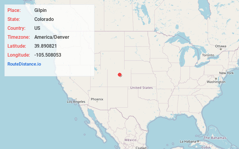
Full AddressGilpin, CO 80422
-
Coordinates39.8908206, -105.508053
-
LocationColorado , US
-
TimezoneAmerica/Denver
-
Current Local Time3:11:44 PM America/DenverWednesday, June 18, 2025
-
Page Views0
Nearby Places
Found 10 places within 50 miles

Rollinsville
1.9 mi
3.1 km
Rollinsville, CO
Get directions

Nederland
4.9 mi
7.9 km
Nederland, CO 80466
Get directions

Eldora
5.2 mi
8.4 km
Eldora, CO 80466
Get directions

Central City
6.2 mi
10.0 km
Central City, CO
Get directions

Black Hawk
6.5 mi
10.5 km
Black Hawk, CO
Get directions

St Ann Highlands
7.2 mi
11.6 km
St Ann Highlands, St. Ann Highlands, CO 80466
Get directions
Crescent Village
8.0 mi
12.9 km
Crescent Village, CO 80403
Get directions

Coal Creek
8.2 mi
13.2 km
Coal Creek, CO 80403
Get directions

St. Mary's Glacier
8.3 mi
13.4 km
St. Mary's Glacier, Colorado 80452
Get directions

Crescent
9.1 mi
14.6 km
Crescent, CO 80403
Get directions
Location Links
Local Weather
Weather Information
Coming soon!
Location Map
Static map view of Gilpin, Colorado
Browse Places by Distance
Places within specific distances from Gilpin
Short Distances
Long Distances
Click any distance to see all places within that range from Gilpin. Distances shown in miles (1 mile ≈ 1.61 kilometers).