Distance to Glencoe, Oklahoma

Calculating Your Route
Just a moment while we process your request...
Location Information
-
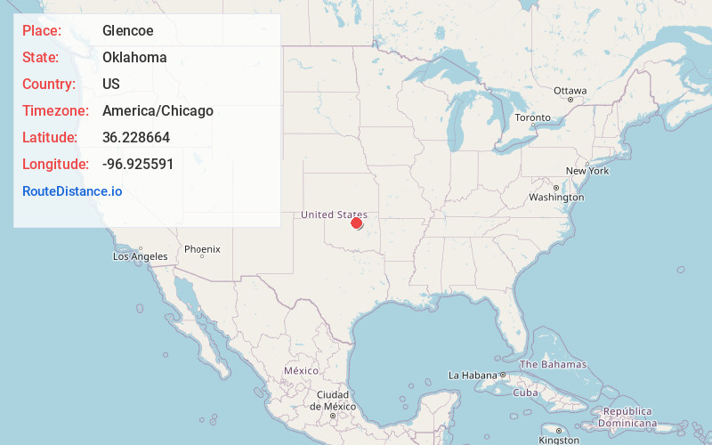
Full AddressGlencoe, OK 74032
-
Coordinates36.2286641, -96.925591
-
LocationGlencoe , Oklahoma , US
-
TimezoneAmerica/Chicago
-
Current Local Time9:26:23 PM America/ChicagoWednesday, June 18, 2025
-
Page Views0
About Glencoe
Glencoe is a town in northern Payne County, Oklahoma, United States. The population was 601 at the 2010 census, an increase of 3.1 percent from the figure of 583 in 2000. Glencoe is a midway point between Pawnee County and Stillwater, which is the county seat.
Nearby Places
Found 10 places within 50 miles

Morrison
6.6 mi
10.6 km
Morrison, OK 73061
Get directions

Pawnee
10.1 mi
16.3 km
Pawnee, OK 74058
Get directions

Stillwater
10.8 mi
17.4 km
Stillwater, OK
Get directions

Yale
14.9 mi
24.0 km
Yale, OK 74085
Get directions

Perkins
18.6 mi
29.9 km
Perkins, OK 74059
Get directions

Cushing
19.0 mi
30.6 km
Cushing, OK 74023
Get directions

Perry
20.6 mi
33.2 km
Perry, OK 73077
Get directions

Oilton
21.5 mi
34.6 km
Oilton, OK
Get directions

Agra
23.3 mi
37.5 km
Agra, OK 74824
Get directions

Drumright
24.6 mi
39.6 km
Drumright, OK 74030
Get directions
Location Links
Local Weather
Weather Information
Coming soon!
Location Map
Static map view of Glencoe, Oklahoma
Browse Places by Distance
Places within specific distances from Glencoe
Short Distances
Long Distances
Click any distance to see all places within that range from Glencoe. Distances shown in miles (1 mile ≈ 1.61 kilometers).