Distance to Glendon, North Carolina

Calculating Your Route
Just a moment while we process your request...
Location Information
-
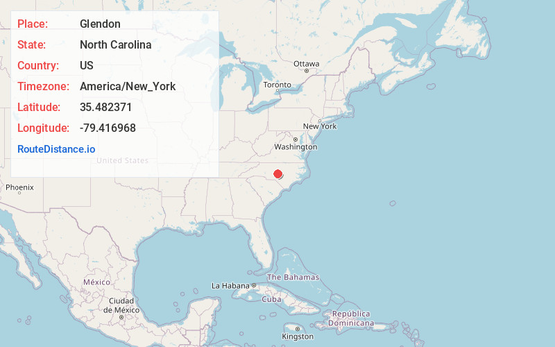
Full AddressGlendon, NC 27325
-
Coordinates35.4823709, -79.4169681
-
LocationGlendon , North Carolina , US
-
TimezoneAmerica/New_York
-
Current Local Time4:13:13 AM America/New_YorkFriday, May 30, 2025
-
Page Views0
Nearby Places
Found 10 places within 50 miles

Haw Branch
2.8 mi
4.5 km
Haw Branch, NC 27330
Get directions
Putnam
4.0 mi
6.4 km
Putnam, NC 28327
Get directions

Carbonton
4.6 mi
7.4 km
Carbonton, NC 27252
Get directions
McConnell
5.3 mi
8.5 km
McConnell, NC 27325
Get directions
Parkwood
5.7 mi
9.2 km
Parkwood, NC 28327
Get directions
Harpers Crossroads
6.5 mi
10.5 km
Harpers Crossroads, NC 27207
Get directions

Goldston
9.1 mi
14.6 km
Goldston, NC 27252
Get directions

Bennett
9.1 mi
14.6 km
Bennett, NC 27208
Get directions

Gulf
9.2 mi
14.8 km
Gulf, NC
Get directions

Carthage
9.4 mi
15.1 km
Carthage, NC
Get directions
Location Links
Local Weather
Weather Information
Coming soon!
Location Map
Static map view of Glendon, North Carolina
Browse Places by Distance
Places within specific distances from Glendon
Short Distances
Long Distances
Click any distance to see all places within that range from Glendon. Distances shown in miles (1 mile ≈ 1.61 kilometers).