Distance to Goldman, Missouri

Calculating Your Route
Just a moment while we process your request...
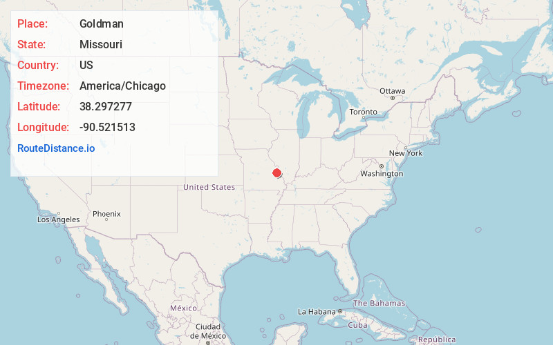
Location Information
-
Full AddressGoldman, Central Township, MO 63050
-
Coordinates38.297277, -90.521513
-
LocationCentral Township , Missouri , US
-
TimezoneAmerica/Chicago
-
Current Local Time2:51:01 AM America/ChicagoWednesday, June 4, 2025
-
Page Views0
About Goldman
Goldman is an unincorporated community in Jefferson County, Missouri, United States, approximately 25 miles south of St. Louis, and five miles north of the county courthouse at Hillsboro. Goldman is located on Old Lemay Ferry Road, an old trade route connecting Hillsboro and St. Louis.
Nearby Places
Found 10 places within 50 miles

Belews Creek
2.5 mi
4.0 km
Belews Creek, Central Township, MO 63050
Get directions
Mapaville
3.9 mi
6.3 km
Mapaville, MO 63050
Get directions
Regina
4.7 mi
7.6 km
Regina, MO 63016
Get directions

Hillsboro
5.0 mi
8.0 km
Hillsboro, MO 63050
Get directions

Otto
5.2 mi
8.4 km
Otto, MO 63012
Get directions

Antonia
5.4 mi
8.7 km
Antonia, MO 63052
Get directions
Horine
5.7 mi
9.2 km
Horine, MO 63070
Get directions
Silica
6.7 mi
10.8 km
Silica, Festus, MO 63028
Get directions

Hematite
6.9 mi
11.1 km
Hematite, MO 63028
Get directions

Pevely
7.2 mi
11.6 km
Pevely, MO
Get directions
Location Links
Local Weather
Weather Information
Coming soon!
Location Map
Static map view of Goldman, Missouri
Browse Places by Distance
Places within specific distances from Goldman
Short Distances
Long Distances
Click any distance to see all places within that range from Goldman. Distances shown in miles (1 mile ≈ 1.61 kilometers).