Distance to Gosport, Alabama

Calculating Your Route
Just a moment while we process your request...
Location Information
-
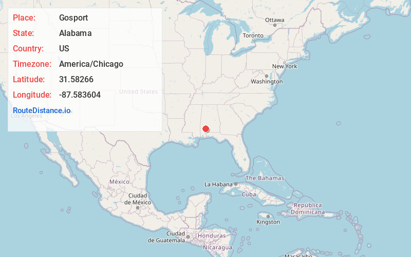
Full AddressGosport, AL 36482
-
Coordinates31.5826597, -87.5836039
-
LocationGosport , Alabama , US
-
TimezoneAmerica/Chicago
-
Current Local Time12:11:22 AM America/ChicagoFriday, June 20, 2025
-
Page Views0
About Gosport
Gosport is an unincorporated community in Clarke County, Alabama, United States. Gosport is also close to the unincorporated town of Whatley, the two are usually confused with one another, and sometimes thought as the same place.
The telephone area code, is 251, while the ZIP code is 36482.
Nearby Places
Found 10 places within 50 miles

Whatley
8.6 mi
13.8 km
Whatley, AL 36482
Get directions
Fountain
10.3 mi
16.6 km
Fountain, AL 36460
Get directions
Manistee
11.1 mi
17.9 km
Manistee, AL 36445
Get directions
Gainestown
11.5 mi
18.5 km
Gainestown, AL 36540
Get directions
Walker Springs
12.6 mi
20.3 km
Walker Springs, AL 36545
Get directions

Mexia
12.6 mi
20.3 km
Mexia, AL 36445
Get directions
Mexboro
13.8 mi
22.2 km
Mexboro, AL 36445
Get directions

Clarke County
13.9 mi
22.4 km
Clarke County, AL
Get directions
Mexia Crossing
14.1 mi
22.7 km
Mexia Crossing, AL 36445
Get directions
Grove Hill
14.3 mi
23.0 km
Grove Hill, AL
Get directions
Location Links
Local Weather
Weather Information
Coming soon!
Location Map
Static map view of Gosport, Alabama
Browse Places by Distance
Places within specific distances from Gosport
Short Distances
Long Distances
Click any distance to see all places within that range from Gosport. Distances shown in miles (1 mile ≈ 1.61 kilometers).