Distance to Grahn, Kentucky

Calculating Your Route
Just a moment while we process your request...
Location Information
-
Full AddressGrahn, KY 41164
-
Coordinates38.2836924, -83.0751728
-
LocationGrahn , Kentucky , US
-
TimezoneAmerica/New_York
-
Current Local Time5:20:59 AM America/New_YorkWednesday, June 18, 2025
-
Page Views0
About Grahn
Grahn is an unincorporated community in Carter County, Kentucky, United States. It lies along Route 182, east of Olive Hill and southwest of the county seat of Grayson. Its elevation is 692 feet. It has a post office with the ZIP code 41142. The ZCTA for ZIP code 41142 had a population of 95 at the 2000 census.

Nearby Places
Found 10 places within 50 miles

Carter County
3.3 mi
5.3 km
Carter County, KY
Get directions

Gregoryville
4.2 mi
6.8 km
Gregoryville, KY 41143
Get directions

Olive Hill
5.5 mi
8.9 km
Olive Hill, KY 41164
Get directions
Bruin
7.3 mi
11.7 km
Bruin, KY 41164
Get directions

Grayson
7.7 mi
12.4 km
Grayson, KY 41143
Get directions
Fairview Hill
8.4 mi
13.5 km
Fairview Hill, KY 41143
Get directions
Rose Hill
9.4 mi
15.1 km
Rose Hill, KY 41164
Get directions
Pactolus
9.5 mi
15.3 km
Pactolus, KY 41143
Get directions
Dewdrop
10.2 mi
16.4 km
Dewdrop, KY 41171
Get directions
Gollihue
10.6 mi
17.1 km
Gollihue, KY 41143
Get directions
Location Links
Local Weather
Weather Information
Coming soon!
Location Map
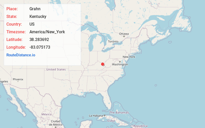
Static map view of Grahn, Kentucky
Browse Places by Distance
Places within specific distances from Grahn
Short Distances
Long Distances
Click any distance to see all places within that range from Grahn. Distances shown in miles (1 mile ≈ 1.61 kilometers).