Distance to Grantham, North Carolina

Calculating Your Route
Just a moment while we process your request...
Location Information
-
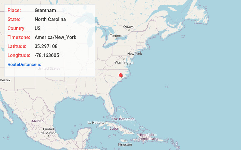
Full AddressGrantham, NC 27530
-
Coordinates35.297108, -78.163605
-
LocationGrantham , North Carolina , US
-
TimezoneAmerica/New_York
-
Current Local Time10:27:05 PM America/New_YorkTuesday, June 17, 2025
-
Page Views0
About Grantham
Grantham is an unincorporated community in southwestern Wayne County, North Carolina, United States. Located southwest of the county seat, Goldsboro, it is located on U.S. Route 13 between Goldsboro and Newton Grove to the south.
Grantham has an elementary school k-5 and a middle school for 6-8.
Nearby Places
Found 10 places within 50 miles

Mar-Mac
6.6 mi
10.6 km
Mar-Mac, NC
Get directions

Brogden
7.3 mi
11.7 km
Brogden, NC 28333
Get directions

Mt Olive
8.9 mi
14.3 km
Mt Olive, NC 28365
Get directions
Calypso
10.4 mi
16.7 km
Calypso, NC
Get directions

Goldsboro
11.2 mi
18.0 km
Goldsboro, NC
Get directions

Newton Grove
11.3 mi
18.2 km
Newton Grove, NC 28366
Get directions

Princeton
11.7 mi
18.8 km
Princeton, NC 27569
Get directions
Faison
12.6 mi
20.3 km
Faison, NC 28341
Get directions
Elroy
14.7 mi
23.7 km
Elroy, NC
Get directions

Pine Level
15.6 mi
25.1 km
Pine Level, NC
Get directions
Location Links
Local Weather
Weather Information
Coming soon!
Location Map
Static map view of Grantham, North Carolina
Browse Places by Distance
Places within specific distances from Grantham
Short Distances
Long Distances
Click any distance to see all places within that range from Grantham. Distances shown in miles (1 mile ≈ 1.61 kilometers).