Distance to Mar-Mac, North Carolina

Calculating Your Route
Just a moment while we process your request...
Location Information
-
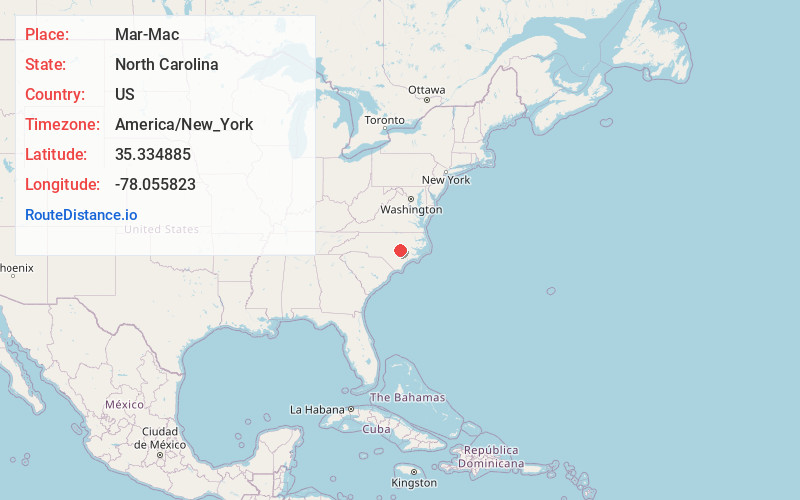
Full AddressMar-Mac, NC
-
Coordinates35.3348849, -78.0558231
-
LocationMar-Mac , North Carolina , US
-
TimezoneAmerica/New_York
-
Current Local Time3:53:07 AM America/New_YorkWednesday, June 18, 2025
-
Page Views0
About Mar-Mac
Mar-Mac is a census-designated place in Wayne County, North Carolina, United States. The population was 3,011 at the 2007 census. It is included in the Goldsboro, North Carolina Metropolitan Statistical Area.

Nearby Places
Found 10 places within 50 miles

Brogden
3.2 mi
5.1 km
Brogden, NC 28333
Get directions

Goldsboro
4.8 mi
7.7 km
Goldsboro, NC
Get directions
Elroy
8.3 mi
13.4 km
Elroy, NC
Get directions

Mt Olive
9.6 mi
15.4 km
Mt Olive, NC 28365
Get directions

La Grange
15.2 mi
24.5 km
La Grange, NC 28551
Get directions

Kenly
18.5 mi
29.8 km
Kenly, NC 27542
Get directions

Selma
19.0 mi
30.6 km
Selma, NC
Get directions

Smithfield
20.0 mi
32.2 km
Smithfield, NC
Get directions

Warsaw
23.3 mi
37.5 km
Warsaw, NC
Get directions
Wilsons Mills
24.1 mi
38.8 km
Wilsons Mills, NC
Get directions
Location Links
Local Weather
Weather Information
Coming soon!
Location Map
Static map view of Mar-Mac, North Carolina
Browse Places by Distance
Places within specific distances from Mar-Mac
Short Distances
Long Distances
Click any distance to see all places within that range from Mar-Mac. Distances shown in miles (1 mile ≈ 1.61 kilometers).