Distance to Pine Level, North Carolina

Calculating Your Route
Just a moment while we process your request...
Location Information
-
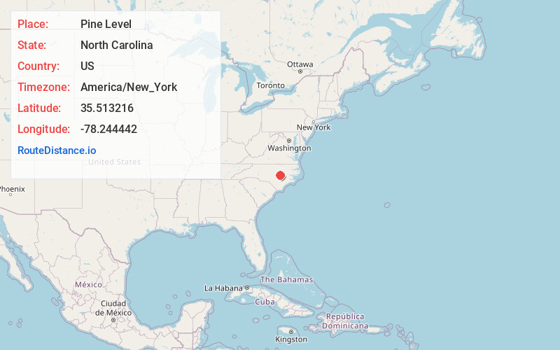
Full AddressPine Level, NC
-
Coordinates35.5132157, -78.2444422
-
LocationPine Level , North Carolina , US
-
TimezoneAmerica/New_York
-
Current Local Time9:36:57 AM America/New_YorkTuesday, June 24, 2025
-
Website
-
Page Views0
About Pine Level
Pine Level, chartered 1872, is a town in Johnston County, North Carolina, United States. The population was 1,700 at the 2010 census, up from 1,313 in 2000. Pine Level is located 35 miles southeast of Raleigh, the state capital.


Nearby Places
Found 10 places within 50 miles

Selma
2.8 mi
4.5 km
Selma, NC
Get directions

Smithfield
5.4 mi
8.7 km
Smithfield, NC
Get directions

Wilsons Mills
7.9 mi
12.7 km
Wilsons Mills, NC
Get directions

Kenly
8.8 mi
14.2 km
Kenly, NC 27542
Get directions

Four Oaks
11.3 mi
18.2 km
Four Oaks, NC 27524
Get directions

Archer Lodge
14.5 mi
23.3 km
Archer Lodge, NC
Get directions

Clayton
15.2 mi
24.5 km
Clayton, NC
Get directions

Mar-Mac
16.3 mi
26.2 km
Mar-Mac, NC
Get directions

Goldsboro
16.6 mi
26.7 km
Goldsboro, NC
Get directions
Brogden
19.3 mi
31.1 km
Brogden, NC 28333
Get directions
Location Links
Local Weather
Weather Information
Coming soon!
Location Map
Static map view of Pine Level, North Carolina
Browse Places by Distance
Places within specific distances from Pine Level
Short Distances
Long Distances
Click any distance to see all places within that range from Pine Level. Distances shown in miles (1 mile ≈ 1.61 kilometers).