Distance to Greensboro Township, Indiana

Calculating Your Route
Just a moment while we process your request...
Location Information
-
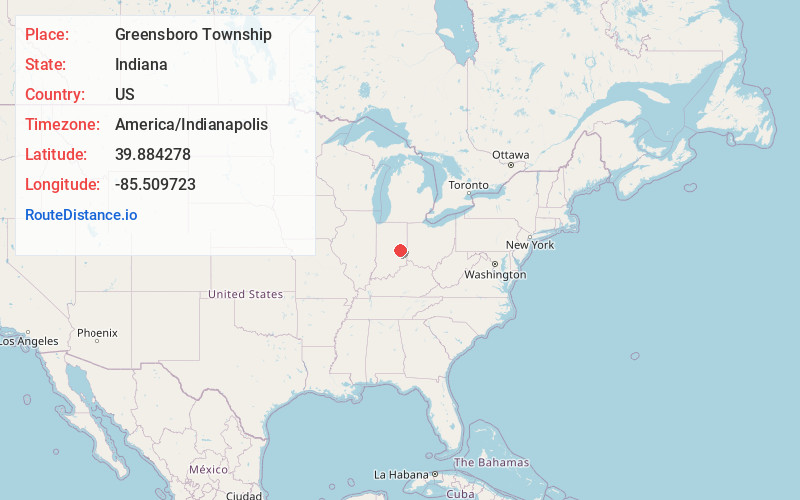
Full AddressGreensboro Township, IN
-
Coordinates39.8842781, -85.5097226
-
LocationGreensboro Township , Indiana , US
-
TimezoneAmerica/Indianapolis
-
Page Views0
About Greensboro Township
Greensboro Township is one of thirteen townships in Henry County, Indiana, United States. As of the 2010 census, its population was 1,728 and it contained 715 housing units.
Greensboro Township was organized in 1831. It was named after the city of Greensboro, North Carolina.
Nearby Places
Found 10 places within 50 miles

Kennard
1.5 mi
2.4 km
Kennard, IN
Get directions
Grant City
2.1 mi
3.4 km
Grant City, IN 47384
Get directions
Greensboro
2.4 mi
3.9 km
Greensboro, IN
Get directions
Mount Lawn
3.2 mi
5.1 km
Mount Lawn, IN 47362
Get directions

Shirley
3.6 mi
5.8 km
Shirley, IN
Get directions
Maple Valley
4.3 mi
6.9 km
Maple Valley, IN 46186
Get directions

Spiceland Township
4.6 mi
7.4 km
Spiceland Township, IN
Get directions
Cadiz
4.8 mi
7.7 km
Cadiz, IN 47362
Get directions

Spiceland
4.9 mi
7.9 km
Spiceland, IN
Get directions
Wilkinson
5.3 mi
8.5 km
Wilkinson, IN 46186
Get directions
Location Links
Local Weather
Weather Information
Coming soon!
Location Map
Static map view of Greensboro Township, Indiana
Browse Places by Distance
Places within specific distances from Greensboro Township
Short Distances
Long Distances
Click any distance to see all places within that range from Greensboro Township. Distances shown in miles (1 mile ≈ 1.61 kilometers).