Distance to Maple Valley, Indiana

Calculating Your Route
Just a moment while we process your request...
Location Information
-
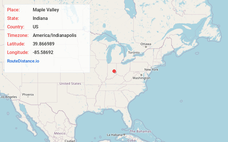
Full AddressMaple Valley, IN 46186
-
Coordinates39.8669889, -85.5869197
-
LocationMaple Valley , Indiana , US
-
TimezoneAmerica/Indianapolis
-
Page Views0
About Maple Valley
Elizabeth City was a village in Wayne Township of Henry County, Indiana, in the United States, located 12.25 miles south-west of New Castle and 6 miles northwest of Knightstown.
Nearby Places
Found 10 places within 50 miles

Wilkinson
1.7 mi
2.7 km
Wilkinson, IN 46186
Get directions

Shirley
1.8 mi
2.9 km
Shirley, IN
Get directions
Warrington
3.7 mi
6.0 km
Warrington, IN 46186
Get directions
Kennard
4.4 mi
7.1 km
Kennard, IN
Get directions
Willow Branch
5.2 mi
8.4 km
Willow Branch, IN
Get directions

Charlottesville
5.4 mi
8.7 km
Charlottesville, IN
Get directions

Knightstown
5.9 mi
9.5 km
Knightstown, IN 46148
Get directions
Cleveland
6.1 mi
9.8 km
Cleveland, IN 46140
Get directions
Greensboro
6.5 mi
10.5 km
Greensboro, IN
Get directions
Mount Lawn
7.3 mi
11.7 km
Mount Lawn, IN 47362
Get directions
Location Links
Local Weather
Weather Information
Coming soon!
Location Map
Static map view of Maple Valley, Indiana
Browse Places by Distance
Places within specific distances from Maple Valley
Short Distances
Long Distances
Click any distance to see all places within that range from Maple Valley. Distances shown in miles (1 mile ≈ 1.61 kilometers).