Distance to Charlottesville, Indiana

Calculating Your Route
Just a moment while we process your request...
Location Information
-
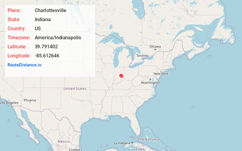
Full AddressCharlottesville, IN
-
Coordinates39.7914018, -85.6126464
-
LocationCharlottesville , Indiana , US
-
TimezoneAmerica/Indianapolis
-
Page Views0
About Charlottesville
Charlottesville is an unincorporated community in Hancock and Rush counties in the U.S. state of Indiana. The Hancock County portion is in Jackson Township, while the Rush County portion is in Ripley Township.

Nearby Places
Found 10 places within 50 miles

Carthage
4.3 mi
6.9 km
Carthage, IN 46115
Get directions

Knightstown
4.6 mi
7.4 km
Knightstown, IN 46148
Get directions

Wilkinson
6.5 mi
10.5 km
Wilkinson, IN 46186
Get directions

Shirley
7.2 mi
11.6 km
Shirley, IN
Get directions

Greenfield
8.3 mi
13.4 km
Greenfield, IN 46140
Get directions
Kennard
9.2 mi
14.8 km
Kennard, IN
Get directions

Morristown
9.3 mi
15.0 km
Morristown, IN 46161
Get directions

Spiceland
9.8 mi
15.8 km
Spiceland, IN
Get directions
Arlington
10.4 mi
16.7 km
Arlington, IN
Get directions
Carrollton
12.5 mi
20.1 km
Carrollton, IN
Get directions
Location Links
Local Weather
Weather Information
Coming soon!
Location Map
Static map view of Charlottesville, Indiana
Browse Places by Distance
Places within specific distances from Charlottesville
Short Distances
Long Distances
Click any distance to see all places within that range from Charlottesville. Distances shown in miles (1 mile ≈ 1.61 kilometers).