Distance to Greentrails, Arizona
Location Information
-
Full AddressGreentrails, Phoenix, AZ 85022
-
Coordinates33.6397623, -112.0634835
-
NeighborhoodDeer Valley
-
LocationPhoenix , Arizona , US
-
TimezoneAmerica/Phoenix
-
Current Local Time12:00:59 AM America/PhoenixThursday, May 15, 2025
-
Page Views0
Nearby Places
Found 10 places within 50 miles

Marlborough Meadows
7.2 mi
11.6 km
Marlborough Meadows, Glendale, AZ 85304
Get directions
Saddlehorn Ranch
7.2 mi
11.6 km
Saddlehorn Ranch, Glendale, AZ 85308
Get directions
Thunderbird Palms II
7.2 mi
11.6 km
Thunderbird Palms II, Glendale, AZ 85306
Get directions
Wellington Court
8.5 mi
13.7 km
Wellington Court, Glendale, AZ 85304
Get directions
Mountain View Meadows
9.2 mi
14.8 km
Mountain View Meadows, Glendale, AZ 85302
Get directions
The Citadel
9.2 mi
14.8 km
The Citadel, Glendale, AZ 85302
Get directions

Glendale
9.9 mi
15.9 km
Glendale, AZ
Get directions
Olive West
10.0 mi
16.1 km
Olive West, Peoria, AZ 85345
Get directions


Leaflet © OpenStreetMap contributors
Location Links
Local Weather
Weather Information
Coming soon!
Location Map
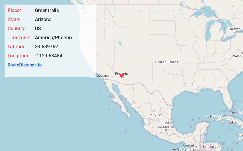
Static map view of Greentrails, Arizona
Browse Places by Distance
Places within specific distances from Greentrails
Short Distances
Long Distances
Click any distance to see all places within that range from Greentrails. Distances shown in miles (1 mile ≈ 1.61 kilometers).