Distance to The Citadel, Arizona

Calculating Your Route
Just a moment while we process your request...
Location Information
-
Full AddressThe Citadel, Glendale, AZ 85302
-
Coordinates33.5722625, -112.2020987
-
LocationGlendale , Arizona , US
-
TimezoneAmerica/Phoenix
-
Current Local Time2:35:06 AM America/PhoenixWednesday, June 18, 2025
-
Page Views0
Nearby Places
Found 10 places within 50 miles

Olive West
0.8 mi
1.3 km
Olive West, Peoria, AZ 85345
Get directions
Mountain View Meadows
1.4 mi
2.3 km
Mountain View Meadows, Glendale, AZ 85302
Get directions

Peoria
2.1 mi
3.4 km
Peoria, AZ
Get directions
Triple T Mobilcity
2.2 mi
3.5 km
Triple T Mobilcity, Glendale, AZ 85301
Get directions
Marlborough Meadows
2.2 mi
3.5 km
Marlborough Meadows, Glendale, AZ 85304
Get directions

Glendale
2.5 mi
4.0 km
Glendale, AZ
Get directions
Thunderbird Palms II
2.8 mi
4.5 km
Thunderbird Palms II, Glendale, AZ 85306
Get directions
Tiki Tai Village
3.1 mi
5.0 km
Tiki Tai Village, Glendale, AZ 85301
Get directions
Three Fountains
3.8 mi
6.1 km
Three Fountains, Glendale, AZ 85301
Get directions
Ironwood Terrace
4.1 mi
6.6 km
Ironwood Terrace, Glendale, AZ 85303
Get directions
Location Links
Local Weather
Weather Information
Coming soon!
Location Map
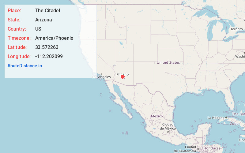
Static map view of The Citadel, Arizona
Browse Places by Distance
Places within specific distances from The Citadel
Short Distances
Long Distances
Click any distance to see all places within that range from The Citadel. Distances shown in miles (1 mile ≈ 1.61 kilometers).