Distance to Grethel, Kentucky

Calculating Your Route
Just a moment while we process your request...
Location Information
-
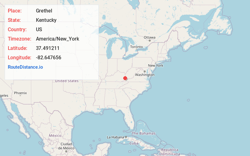
Full AddressGrethel, KY 41631
-
Coordinates37.491211, -82.6476557
-
LocationGrethel , Kentucky , US
-
TimezoneAmerica/New_York
-
Current Local Time4:25:09 AM America/New_YorkMonday, June 16, 2025
-
Page Views0
About Grethel
Grethel is an unincorporated community located in Floyd County, Kentucky, United States.
A post office was established in the community in 1921, and named for the first postmaster's daughter.
Nearby Places
Found 10 places within 50 miles

Osborn
2.2 mi
3.5 km
Osborn, KY 41635
Get directions
Amba
2.7 mi
4.3 km
Amba, KY 41635
Get directions
Honaker
2.9 mi
4.7 km
Honaker, KY 41603
Get directions
Blue Moon
3.0 mi
4.8 km
Blue Moon, KY 41655
Get directions
Galveston
3.7 mi
6.0 km
Galveston, KY 41635
Get directions
Craynor
3.9 mi
6.3 km
Craynor, KY 41635
Get directions
Broad Bottom
4.2 mi
6.8 km
Broad Bottom, KY 41501
Get directions

Betsy Layne
4.4 mi
7.1 km
Betsy Layne, KY
Get directions
Teaberry
4.5 mi
7.2 km
Teaberry, KY 41660
Get directions
Stanley Addition
4.8 mi
7.7 km
Stanley Addition, Coal Run Village, KY 41501
Get directions
Location Links
Local Weather
Weather Information
Coming soon!
Location Map
Static map view of Grethel, Kentucky
Browse Places by Distance
Places within specific distances from Grethel
Short Distances
Long Distances
Click any distance to see all places within that range from Grethel. Distances shown in miles (1 mile ≈ 1.61 kilometers).