Distance to Amba, Kentucky

Calculating Your Route
Just a moment while we process your request...
Location Information
-
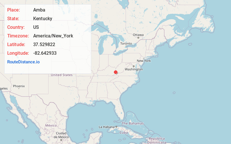
Full AddressAmba, KY 41635
-
Coordinates37.5298216, -82.6429332
-
LocationAmba , Kentucky , US
-
TimezoneAmerica/New_York
-
Current Local Time11:57:28 AM America/New_YorkThursday, June 19, 2025
-
Page Views0
Nearby Places
Found 10 places within 50 miles

Betsy Layne
1.7 mi
2.7 km
Betsy Layne, KY
Get directions

Stanville
2.6 mi
4.2 km
Stanville, KY 41659
Get directions
Broad Bottom
2.8 mi
4.5 km
Broad Bottom, KY 41501
Get directions
Coal Run Village
4.8 mi
7.7 km
Coal Run Village, KY 41501
Get directions
Banner
5.8 mi
9.3 km
Banner, KY 41603
Get directions
Arkansas
6.1 mi
9.8 km
Arkansas, KY 41601
Get directions
Drift
6.7 mi
10.8 km
Drift, KY 41619
Get directions

Martin
6.7 mi
10.8 km
Martin, KY
Get directions

McDowell
7.2 mi
11.6 km
McDowell, KY
Get directions
Allen City
7.2 mi
11.6 km
Allen City, KY 41601
Get directions
Location Links
Local Weather
Weather Information
Coming soon!
Location Map
Static map view of Amba, Kentucky
Browse Places by Distance
Places within specific distances from Amba
Short Distances
Long Distances
Click any distance to see all places within that range from Amba. Distances shown in miles (1 mile ≈ 1.61 kilometers).