Distance to Teaberry, Kentucky

Calculating Your Route
Just a moment while we process your request...
Location Information
-
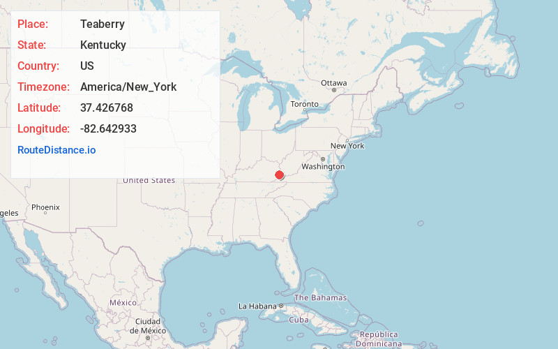
Full AddressTeaberry, KY 41660
-
Coordinates37.426768, -82.6429334
-
LocationTeaberry , Kentucky , US
-
TimezoneAmerica/New_York
-
Current Local Time11:08:58 PM America/New_YorkWednesday, June 25, 2025
-
Page Views0
About Teaberry
Teaberry is an unincorporated community that is located in Floyd County, Kentucky, United States.
Nearby Places
Found 10 places within 50 miles

McDowell
5.5 mi
8.9 km
McDowell, KY
Get directions

Penny
6.4 mi
10.3 km
Penny, KY 41501
Get directions
Douglas
6.4 mi
10.3 km
Douglas, KY 41501
Get directions
Drift
6.8 mi
10.9 km
Drift, KY 41619
Get directions
Kewanee
7.1 mi
11.4 km
Kewanee, KY 41501
Get directions
Amba
7.1 mi
11.4 km
Amba, KY 41635
Get directions

Virgie
7.2 mi
11.6 km
Virgie, KY 41572
Get directions
Coal Run Village
7.6 mi
12.2 km
Coal Run Village, KY 41501
Get directions

Pikeville
7.7 mi
12.4 km
Pikeville, KY 41501
Get directions

Wheelwright
7.8 mi
12.6 km
Wheelwright, KY
Get directions
Location Links
Local Weather
Weather Information
Coming soon!
Location Map
Static map view of Teaberry, Kentucky
Browse Places by Distance
Places within specific distances from Teaberry
Short Distances
Long Distances
Click any distance to see all places within that range from Teaberry. Distances shown in miles (1 mile ≈ 1.61 kilometers).