Distance to Gum Grove, Arkansas

Calculating Your Route
Just a moment while we process your request...
Location Information
-
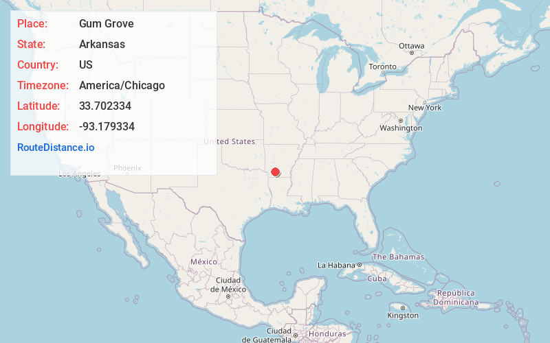
Full AddressGum Grove, AR 71858
-
Coordinates33.7023338, -93.1793336
-
LocationArkansas , US
-
TimezoneAmerica/Chicago
-
Current Local Time10:38:23 PM America/ChicagoWednesday, June 18, 2025
-
Page Views0
Nearby Places
Found 10 places within 50 miles

Bluff City
2.8 mi
4.5 km
Bluff City, AR
Get directions

Cummings Springs
3.5 mi
5.6 km
Cummings Springs, AR 71857
Get directions
Reader
5.6 mi
9.0 km
Reader, AR
Get directions
Cale
6.3 mi
10.1 km
Cale, AR
Get directions
Young
8.8 mi
14.2 km
Young, AR 71858
Get directions

Chidester
9.1 mi
14.6 km
Chidester, AR 71726
Get directions
Redland
9.2 mi
14.8 km
Redland, AR 71857
Get directions
Whelen Springs
9.4 mi
15.1 km
Whelen Springs, AR
Get directions
Rosston
9.4 mi
15.1 km
Rosston, AR 71858
Get directions
Laneburg
9.7 mi
15.6 km
Laneburg, AR 71857
Get directions
Location Links
Local Weather
Weather Information
Coming soon!
Location Map
Static map view of Gum Grove, Arkansas
Browse Places by Distance
Places within specific distances from Gum Grove
Short Distances
Long Distances
Click any distance to see all places within that range from Gum Grove. Distances shown in miles (1 mile ≈ 1.61 kilometers).