Distance to Hagerhill, Kentucky

Calculating Your Route
Just a moment while we process your request...
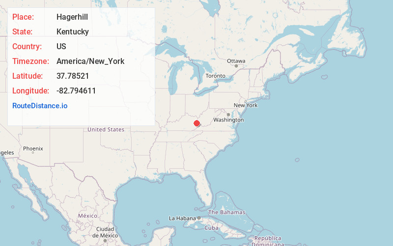
Location Information
-
Full AddressHagerhill, West Van Lear, KY 41222
-
Coordinates37.7852096, -82.7946106
-
NeighborhoodHagerhill
-
LocationWest Van Lear , Kentucky , US
-
TimezoneAmerica/New_York
-
Current Local Time3:16:57 PM America/New_YorkThursday, June 19, 2025
-
Page Views0
About Hagerhill
Hager Hill is an unincorporated community in Johnson County, Kentucky, United States. Hager Hill is located approximately four miles south of Paintsville, the county seat of Johnson County.
Nearby Places
Found 10 places within 50 miles

Paintsville
2.1 mi
3.4 km
Paintsville, KY
Get directions

Van Lear
2.2 mi
3.5 km
Van Lear, KY
Get directions

Thealka
2.6 mi
4.2 km
Thealka, KY 41240
Get directions
East Point
2.7 mi
4.3 km
East Point, KY 41222
Get directions
Thelma
2.8 mi
4.5 km
Thelma, KY 41260
Get directions
Meally
3.1 mi
5.0 km
Meally, KY 41234
Get directions
Denver
3.3 mi
5.3 km
Denver, KY 41222
Get directions
Nero
3.5 mi
5.6 km
Nero, KY 41265
Get directions


Leaflet © OpenStreetMap contributors
Location Links
Local Weather
Weather Information
Coming soon!
Location Map
Static map view of Hagerhill, Kentucky
Browse Places by Distance
Places within specific distances from Hagerhill
Short Distances
Long Distances
Click any distance to see all places within that range from Hagerhill. Distances shown in miles (1 mile ≈ 1.61 kilometers).