Distance to Halleytown, South Carolina

Calculating Your Route
Just a moment while we process your request...
Location Information
-
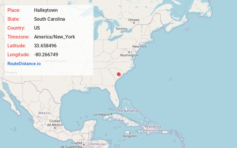
Full AddressHalleytown, SC 29102
-
Coordinates33.6584961, -80.2667486
-
LocationSouth Carolina , US
-
TimezoneAmerica/New_York
-
Current Local Time10:02:45 AM America/New_YorkThursday, June 12, 2025
-
Page Views0
Nearby Places
Found 10 places within 50 miles

Manning
4.1 mi
6.6 km
Manning, SC 29102
Get directions

Summerton
6.0 mi
9.7 km
Summerton, SC 29148
Get directions

Alcolu
7.0 mi
11.3 km
Alcolu, SC 29001
Get directions

Paxville
7.6 mi
12.2 km
Paxville, SC
Get directions
Baggette Crossroads
7.8 mi
12.6 km
Baggette Crossroads, SC 29102
Get directions
Cypress Fork Crossroads
12.6 mi
20.3 km
Cypress Fork Crossroads, SC 29001
Get directions
Pinewood
12.6 mi
20.3 km
Pinewood, SC 29125
Get directions
Privateer
13.2 mi
21.2 km
Privateer, SC
Get directions
Durant
13.5 mi
21.7 km
Durant, SC 29001
Get directions
Lakewood
13.9 mi
22.4 km
Lakewood, SC 29150
Get directions
Location Links
Local Weather
Weather Information
Coming soon!
Location Map
Static map view of Halleytown, South Carolina
Browse Places by Distance
Places within specific distances from Halleytown
Short Distances
Long Distances
Click any distance to see all places within that range from Halleytown. Distances shown in miles (1 mile ≈ 1.61 kilometers).