Distance to Hamden, Oklahoma

Calculating Your Route
Just a moment while we process your request...
Location Information
-
Full AddressHamden, OK 74743
-
Coordinates34.14222, -95.56639
-
LocationHamden , Oklahoma , US
-
TimezoneAmerica/Chicago
-
Current Local Time10:46:15 PM America/ChicagoSunday, June 15, 2025
-
Page Views0
About Hamden
Hamden is an unincorporated community in northern Choctaw County, Oklahoma, United States. It is seven miles southeast of Antlers.
A United States Post Office was established at Hamden, Indian Territory on March 31, 1894, and operated until May 15, 1924.
Nearby Places
Found 10 places within 50 miles

Speer
2.1 mi
3.4 km
Speer, OK 74743
Get directions
Kent
3.8 mi
6.1 km
Kent, OK 74743
Get directions
Dela
4.7 mi
7.6 km
Dela, OK 74523
Get directions
Big Rocks
6.0 mi
9.7 km
Big Rocks, OK 74523
Get directions
Ethel
6.2 mi
10.0 km
Ethel, OK 74523
Get directions
Messer
6.7 mi
10.8 km
Messer, OK 74743
Get directions
Nelson
6.8 mi
10.9 km
Nelson, OK 74759
Get directions

Antlers
6.9 mi
11.1 km
Antlers, OK 74523
Get directions
Forney
8.3 mi
13.4 km
Forney, OK 74743
Get directions
Apple
8.7 mi
14.0 km
Apple, OK 74743
Get directions
Location Links
Local Weather
Weather Information
Coming soon!
Location Map
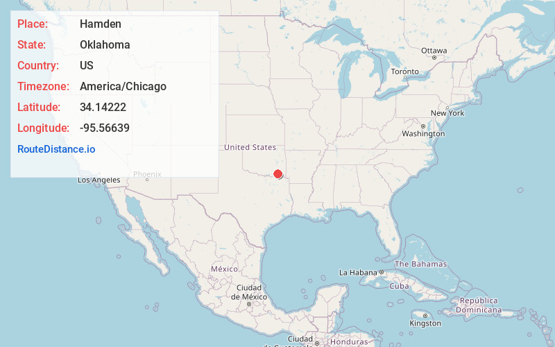
Static map view of Hamden, Oklahoma
Browse Places by Distance
Places within specific distances from Hamden
Short Distances
Long Distances
Click any distance to see all places within that range from Hamden. Distances shown in miles (1 mile ≈ 1.61 kilometers).