Distance to Handy Township, Michigan

Calculating Your Route
Just a moment while we process your request...
Location Information
-
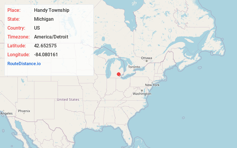
Full AddressHandy Township, MI
-
Coordinates42.6525748, -84.0801613
-
LocationHandy Township , Michigan , US
-
TimezoneAmerica/Detroit
-
Current Local Time4:01:52 AM America/DetroitThursday, June 19, 2025
-
Page Views0
About Handy Township
Handy Township is a civil township of Livingston County in the U.S. state of Michigan. The population was 8,602 at the time of the 2020 census, up from 8,006 at the 2000 census. The village of Fowlerville is located within the township.

Nearby Places
Found 10 places within 50 miles

Fowlerville
0.7 mi
1.1 km
Fowlerville, MI 48836
Get directions

Fleming
3.5 mi
5.6 km
Fleming, Howell Township, MI 48855
Get directions

Webberville
4.9 mi
7.9 km
Webberville, MI
Get directions
Cohoctah Township
6.7 mi
10.8 km
Cohoctah Township, MI
Get directions
Bell Oak
7.1 mi
11.4 km
Bell Oak, Locke Township, MI 48892
Get directions

Iosco Township
8.1 mi
13.0 km
Iosco Township, MI
Get directions
Vantown
8.1 mi
13.0 km
Vantown, White Oak Township, MI 48892
Get directions
Oak Grove
8.2 mi
13.2 km
Oak Grove, MI 48855
Get directions

Howell
8.3 mi
13.4 km
Howell, MI
Get directions
Cohoctah Center
8.5 mi
13.7 km
Cohoctah Center, Cohoctah Township, MI 48855
Get directions
Location Links
Local Weather
Weather Information
Coming soon!
Location Map
Static map view of Handy Township, Michigan
Browse Places by Distance
Places within specific distances from Handy Township
Short Distances
Long Distances
Click any distance to see all places within that range from Handy Township. Distances shown in miles (1 mile ≈ 1.61 kilometers).